Motorcycle Route Author

By Guest (0 McR Points)
on May 31, 2001
Rider Reviews
Written Directions
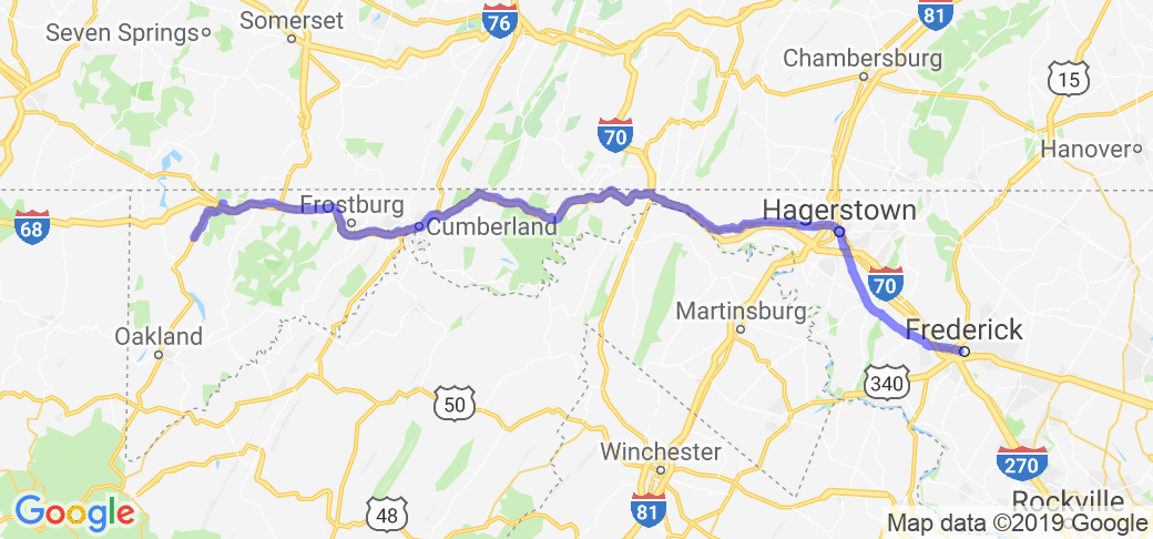
There are many different roads you can take and still hit all the nice stops and get some great bike roads in. You should take a map with you because it can get a little confusing. Below is only one suggestion of the roads you should take: Start your route in Frederick, MD, and head east on 40A towards the small town of Middletown and on to Boonsboro. Near Boonsboro get on route 34 heading west to Sharpsburg. Next take route 65 north up to Hagerstown and then get back on route 40 heading west towards the small towns of Clear Spring and Indian Springs. From here you can hop on I-70 heading west and about 6 miles up the road you need to get on I-68 heading west. Stay on I-68 heading east for 36 miles till you get to Cumberland at which point you want to exit on to 40A. 40A will take you on a pretty drive to and through the town of Grantsville. After passing through Grantsville, about 8 miles later, 40A will run into US route 219 at which point you want to take a left on to 219 heading south and down to the town of Accident where I suggest a nice end point to this great route. Of course, if you like what you see there, just keep on heading down 219 ... By the way, be on the look out for "The Cove Overlook"near the town of Accident.Scenery
This route specializes in scenery, history and some great motorcycle roads. You will be traveling along the nation's first attempt at a federal road that was built back in the early 1800's to encourage settlers to journey into the new frontier to the west. It is known as the 'Old National Road' and along this route you will see one of the few remaining toll-gates designed to help pay for upkeep of the road. Settlers would use this road as their launching point for destinations as far as Oregon, San Francisco, Santa Fe, and Colorado.This route also covers ground where young 22-year-old George Washington led British troops against the French. This act lead to the beginning of the French and Indian war which was one of the factors leading to the England's policy to tax the colonies. It was this 'taxation without representation' that provoked the colonist to rise up against their English King leading to the Revolutionary War. And as if completing a circle it was George Washington who led the colonist to victory and the birth of the greatest nation on earth.
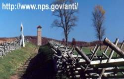
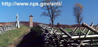
This route also passes by the Antietam National Battlefield. It was here where the bloodiest day of battle (September 17, 1862) was fought in the entire Civil War. You can learn about the battle that took the lives of 23,000 men at the visitor center and tour the battleground on your bike or on foot.
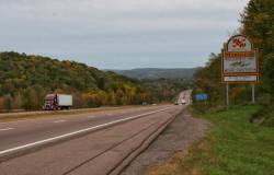
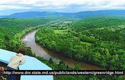
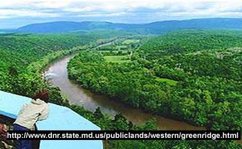
The scenery on this route is outstanding because of its path through the Allegheny Mountains in the Maryland panhandle. Much of the route takes place near rivers, creaks and in valleys and you will be able to see some waterfalls. Past the town of Cumberland the route takes you up against some 1,000-foot bluffs.
Drive Enjoyment
This route has some really great motorcycle roads. They have a good amount of twists, turns and climbs and it typically they are not very crowded.Tourism Opportunities
The route's amenities are mostly nature or history based (ex. Parks and landmarks) however, there are a few towns along the way that will offer some urban amenities. Some of the highlights of the route are shown below (described while traveling from east to west along the route):- Fredrick is a good size community and a good place to start out with a meal and fill up on gas. There is a historical home on West Patrick Street where a women by the name of Barbara Fritchie stood up to the great Civil War general Stonewall Jackson. She defiantly flew our nation's flag despite the fact that his troops were overrunning the area on the way to Antietam. Legend has it that she told the General himself 'Shoot if you must this old gray head, but spare your country's flag.' Jackson, being moved by her resolution, shouted that any man who touches 'a hair on her head, will die like a dog.'
- Along 40A, about 12 miles west of Fredrick, you can visit Washington Monument State Park and the first memorial to George Washington. Back in 1827, the citizens of Boonsboro marched 2 miles up a mountain to hand lay the stones into place that formed this monument. The monument stands 34 feet tall and has been the pride of Boonsboro ever since.
- See the Antietam National Battlefield (301-432-5142) and spend some time at the visitor center learning about the history surrounding the bloodiest battlefield in the civil war. Hagerstown is one of the larger towns you'll find on the route and if you would like to see a glimpse of life in the 18th century head to the articulately restored Hager House (301-739-8393).
- Hagerstown is also interestingly situated only a few miles west of Cato tin Mountain Park. This park is the home of the highly guarded Camp David used by our Presidents as a remote planning location.
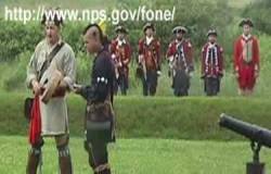
- Fort Frederick State Park (near and south of Indian Springs) is where you can see one of the many forts built to protect settlers back in the 1700s. The fort's walls are made of stone and stand 17 feet high and are 4 feet thick.
- In the Green Ridge State Forest there is an old tunnel that travels under a canal. You can walk through the tunnel to a picnic area on the other side - bring your flashlight and bat repellant.
- In the town of Cumberland you can visit its historical area and see the end of an important historical canal. Construction of this canal began back in 1828 and it began about 120 miles back to the east in Washington D.C. The canal's life was ended by the introduction of the railroad as a means of traveling to the west. Rte. 40A west of Cumberland travels the same path as the 'Old National Road' that took settlers as far west as the Pacific Coast. You may see some decaying old stone mile markers along the path or even a tollbooth where the families in covered wagons would stop and pay a fee to continue on the stone paved road. Cumberland also has a restored 1913 railroad station where you can board an authentic coal burning train and take a beautiful roundtrip train-ride from Cumberland to Frostburg. Call the Western Maryland Station Center for schedule and fee information (301-777-5905 and 1-800-TRAIN-50).
- In the town of Grantsville you will see Amish and Mennonite communities that have been there for nearly 200 years. If you want to stay at a historical Inn, try the Casselman Hotel, which provides each room with a stone fireplace. At the Penn Alps center and Spruce Forest Artisan Village you can see handcrafting skills being taught and displayed (whittling, basket weaving etc.).
- The route ends when you head south on Rte. 219 and stop at the Cove Overlook. From this vantage point you will get a fantastic view of the Allegheny Mountains that surround this valley.

