Motorcycle Route Author

By Guest (0 McR Points)
on Mar 31, 2003
Rider Reviews
Written Directions
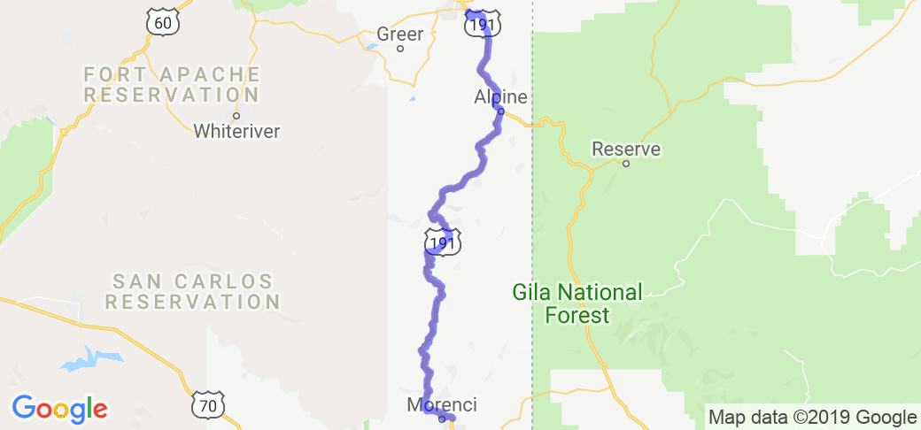
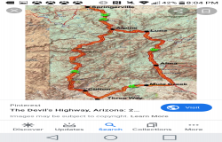
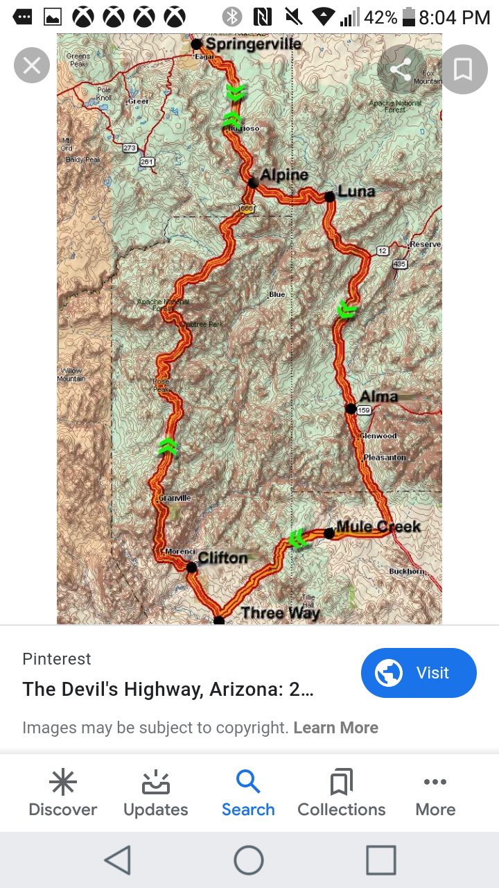
The way the road is described is by starting at Clifton, AZ and ending in Eagar, AZ. Of course you can reverse the direction if you like. Just look for Clifton and Eagar on the New Mexico/Arizona border which are about 200 miles east of Phoenix, AZ and take AZ Road 191.Scenery
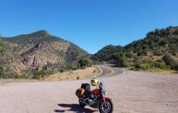
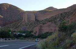
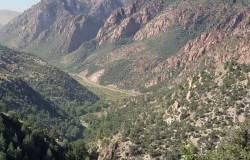
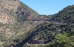
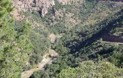
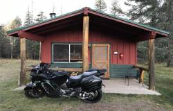
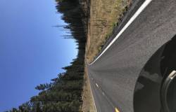
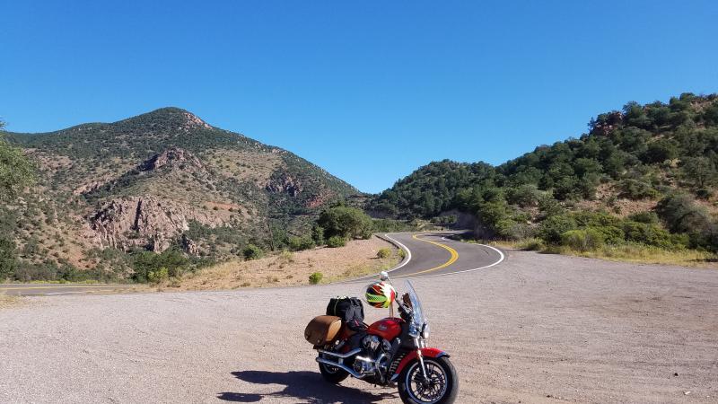
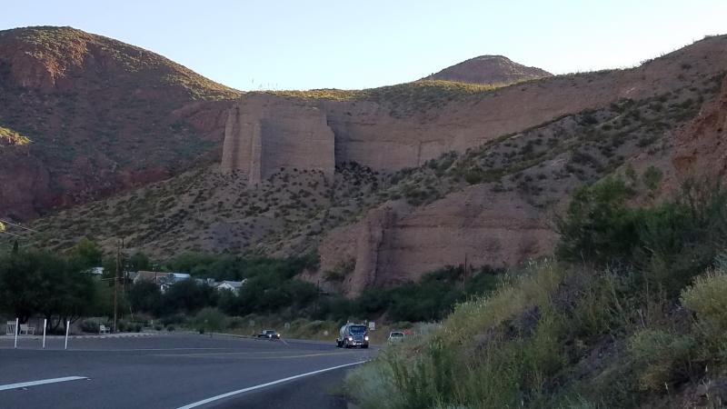
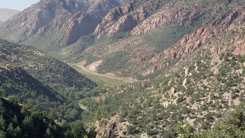
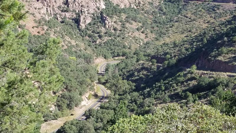
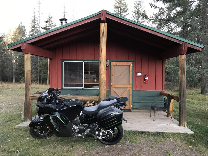
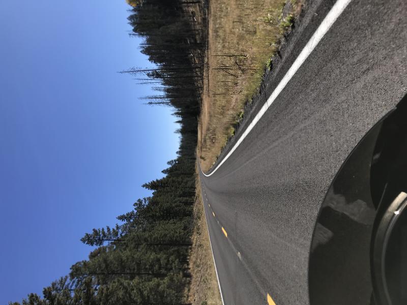
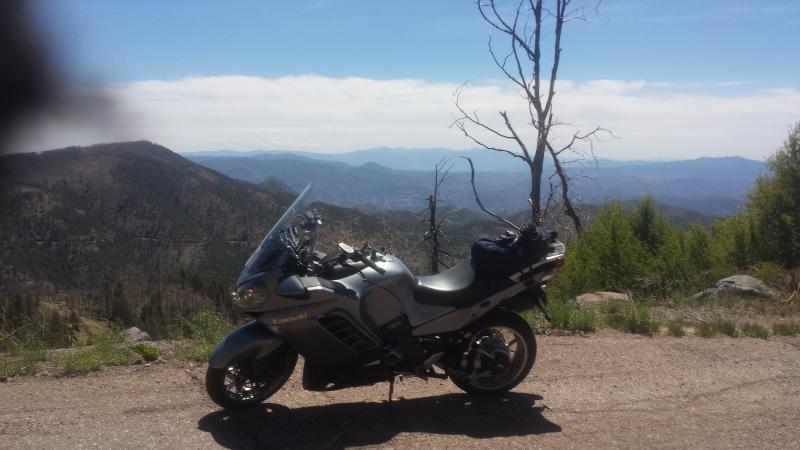
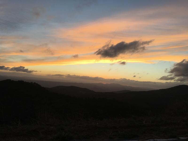
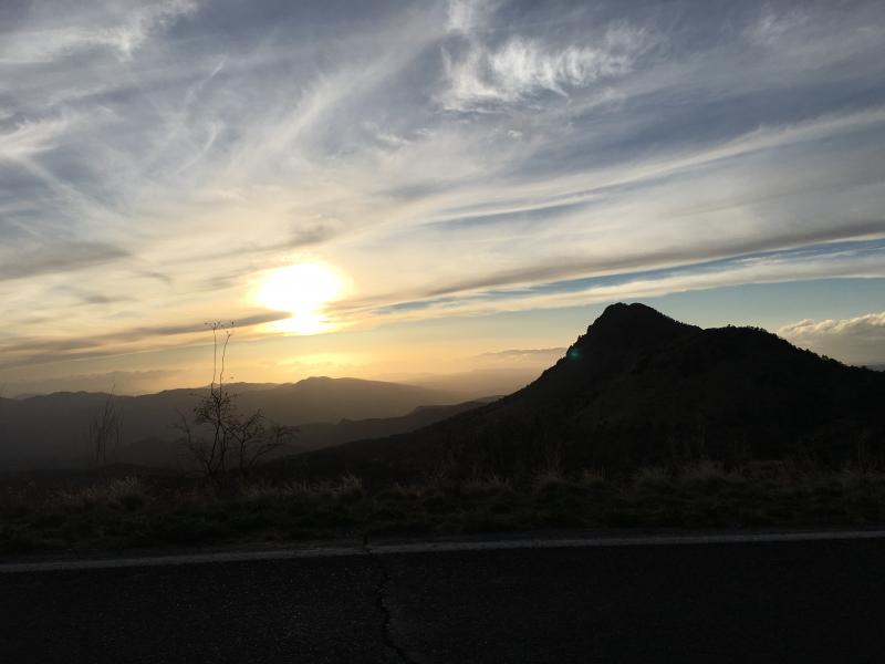
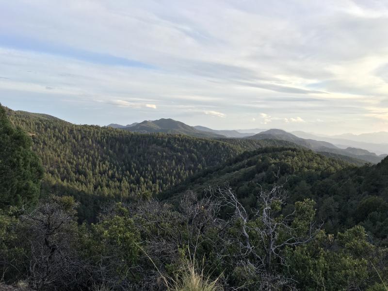
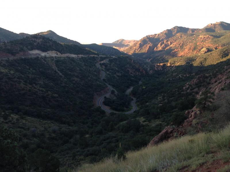
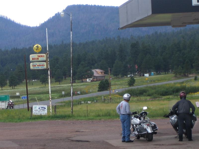
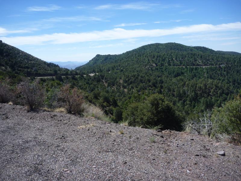
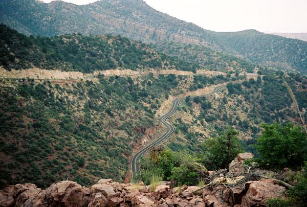
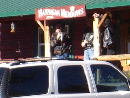
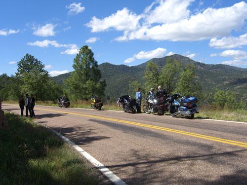
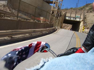
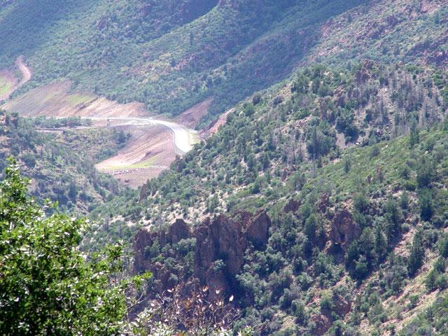
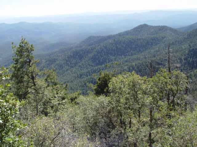
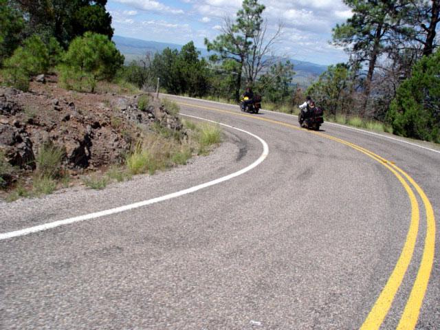
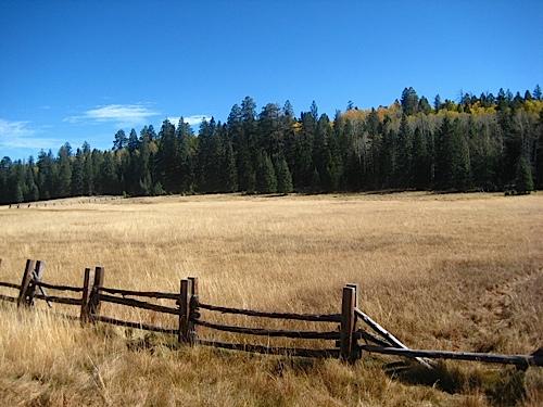
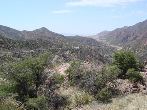
This road brings you to a whole new world in Arizona. Its located in the central eastern part of Arizona and parallels the New Mexico border. To find it on the map, just look for the towns of Eagar (home of the largest stand of pine trees in the US) and Clifton along the Arizona/New Mexico border. The towns are connected by Arizona road 191. You'll start out in a desert environment and end up passing through an Alpine paradise. It is LOADED with twists and turns and even though its in a remote section of Arizona, its well worth the trip. The road starts out in a desert setting near Clifton, AZ ... an old copper mining town. From there heading north and up in elevation, you can stop at a scenic overlook that will give you a look at the world's largest open-pit copper mines. The road will then take you through a canyon as the road hugs some cliffs and continues to dramatically climb (BE CAREFUL). What makes this road so amazing is the big change in scenery you'll see between the start and the finish. The diversity of landscape is due to the change in elevation you'll cover - a 5,000 feet difference from start to finish. You'll start out seeing some nice desert landscapes and then move on into some interesting canyons. You'll see the world's largest open pit copper mine and pass by one of the highest peaks in AZ - Escudilla Mountain (10,800 ft). You'll also see huge pine and aspen forests and some tranquil little meadows as you pass next to the White Mountains and through the Apache-Sitgreaves National Forest. "This was taken at Hannagan Meadow." Update from 1rock1 on 6/13/12: The ride starts at 7500 feet elevation and drops to the 2500 foot level. The drive is full of wildlife, hairpin turns, shear cliffs, dramatic views and finishes with a drive through an open pit copper mine. There is so much metal in the earth the mountains are alive with rust colors making the scenic views some of the best blending White clouds, Blue skies, and the green pines. There are no services between the two cities so fill up in Alpine. Traveling south gives the best views as you are looking out over the Valley. Expect to be traveling for nearly 4 hours without stops as there are nearly 1200 hairpin turns of no more the 15 MPH on this incredible drive.Drive Enjoyment
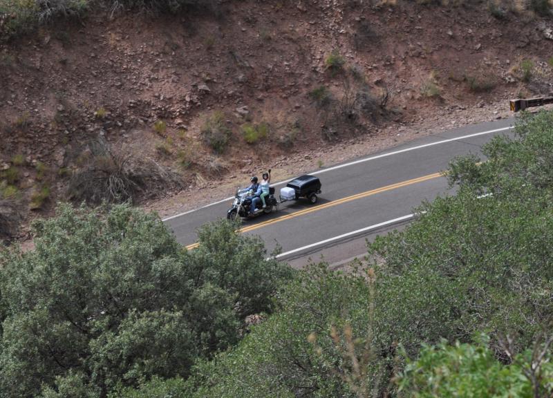
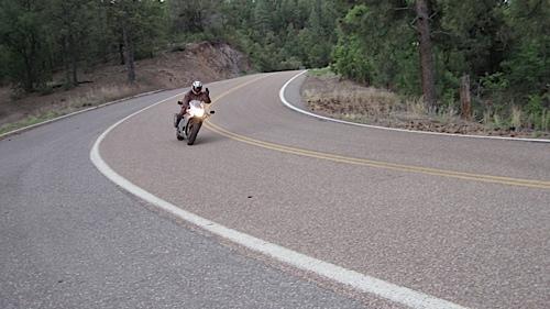
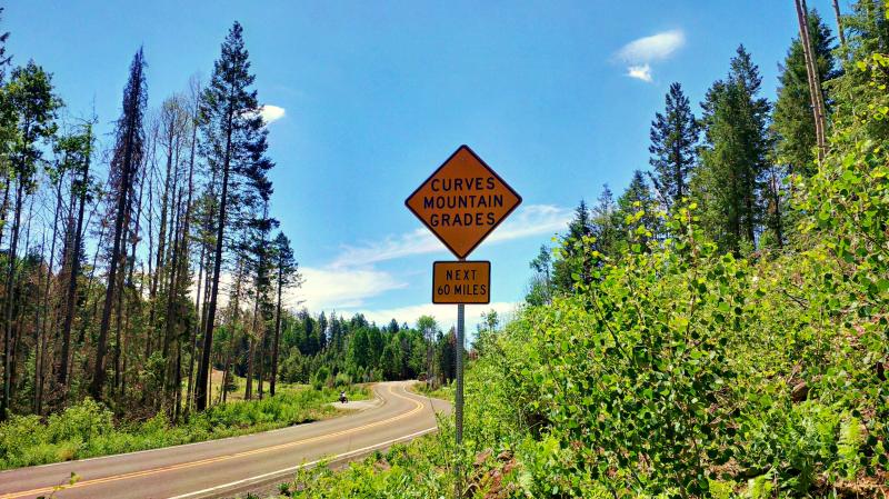
A true 5-star road for motorcycles. They say there are 427 curves on AZ Road 191 between Clifton and Alpine. The road also has some breathtaking ascents along the way that will keep your engine revving. The most dramatic elevation changes are near the town of Morenci, AZ. In fact, the speed of traffic will slow down to just 10 MPH at certain points!"You all missed the point if you just did half. Try starting in Eager, then heading down 180 then cut across towards Clifton-Morenci on 78 then go back up 191. Round trip is 270 miles and will take about 12 hours to do it. Partly because you of the twisties and partly because you will be stopping at every wide spot to take pictures! Go to www.QuickThrottle.com and check out our Biker Gallery for the Rt 666 ride (this used to be hwy 666)". Update from 1rock1 on 6/13/12: 1200 Hairpin turns, no shoulders and occasional dirt washed across roads from any recent storms that may have passed through.

