Written Directions
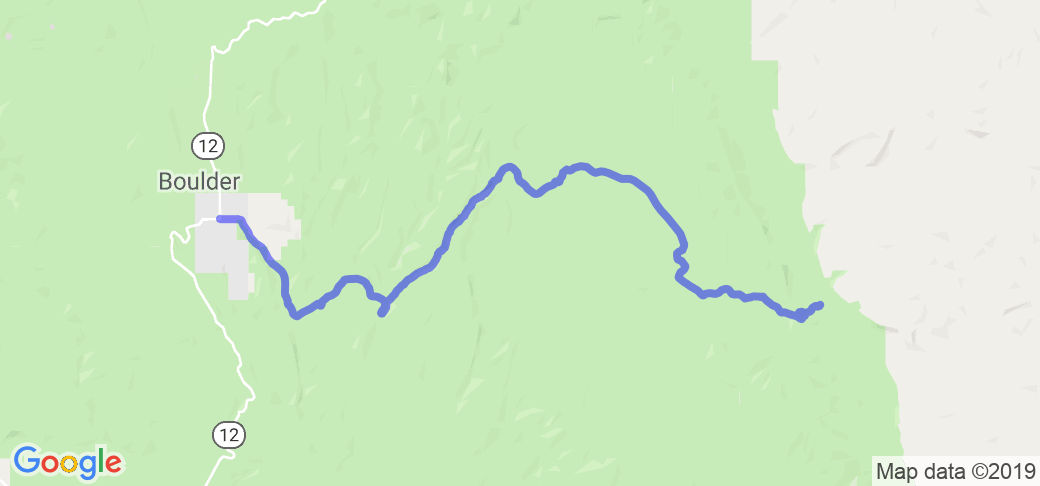
Travel 27 miles East on UT 12 from Escalante, UT. Burr Trail will be on the right side of 12 Right before Hell's Backbone Grill.
Scenery
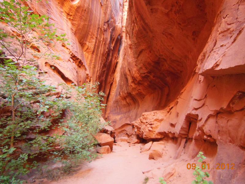
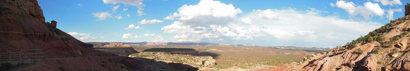
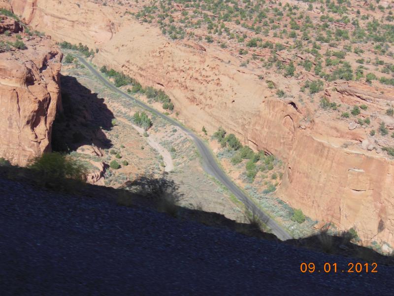
The views of the canyon walls on each side of the road going a couple of hundred feet up are amazing! There is a large slot canyon on the North side of the road that you can walk back into and explore, as well as a creek that follows along the road. We drove until we reached an outlook over Waterpocket Fold and turned around short of the 25 mile pavement end.
Drive Enjoyment
This road has a few twists and ups and downs for the first 9 miles, then it turns into a lot of twists and switchbacks down into a canyon. Once you are in the canyon it is a pretty narrow road with some bumps along the way, but no pavement break ups. Max speed was about 45 mph. 25 miles from route 12 Burr trail turns into gravel, so we turned around and headed back towards 12.
Tourism Opportunities
There is 1 campground about 12 miles from UT 12, but no gas or food anywhere along the route. There were a few different small grills right as you turn off UT 12 and one gas station about 1 mile to the west from Burr trail that we filled at. Make sure you have enough to do the 50 mile round trip before you go start, I'm sure it is a long push up hill out of the canyon.


 Write a review


 | United States")


- Ranch Roads 335, 336,337a | United States")


 | United States")


 | United States")


