Motorcycle Route Author

By Guest (0 McR Points)
on Nov 30, 2006
Rider Reviews
Written Directions
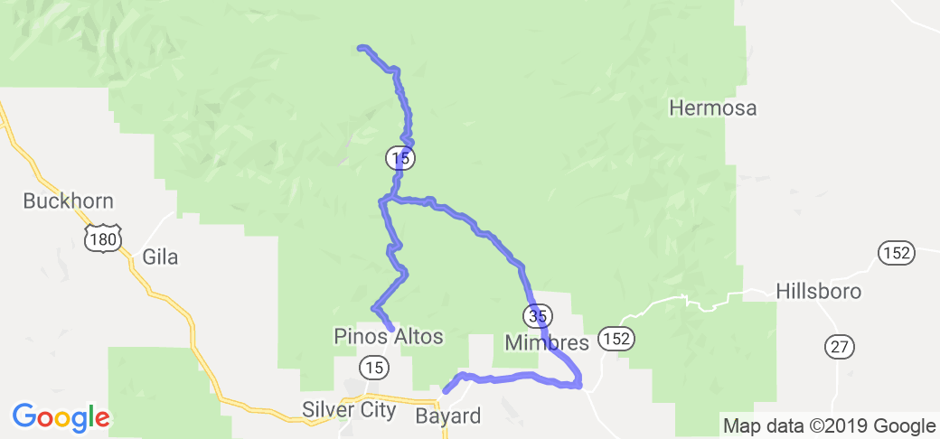
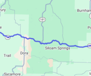
Start in Silver City, NM and take 152 east toward the huge Chino mine. In the town of San Lorenzo, you'll find where 152 and route 35 meet ... take 35 north. You'll stay on 35 heading north for about 25 miles as it runs into route 15. Take 15 north up to the Gila Cliff Dwellings National Monument (about a 19 mile trip). After checking that out, turn around and head south on 15 all the way down to the route's end point, Pinos Altos, NM.Scenery
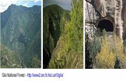
You'll be driving through the Gila National Forest which has truly incredible scenery that includes high alpine mountain settings including lush spreads of aspens and Douglas firs to the warmer/semi-arid lowlands with cactus, junipers and oak trees. It is one of the most expansive and untouched National Forests in the southwest that covers over 3 million acres of forest.Also, on this route you'll see the huge Chino mine with an overlook on NM 152 that reveals a panoramic view of the mine, one of the largest open pit copper mines in the world. Trucks bigger than houses look like mechanical ants. The Kneeling Nun, a landmark geological formation and the source of many local legends, overlooks the mine.
Drive Enjoyment
The roads are well kept and some of the roads that cover the mountain sections have great twists and turns as well as elevation changes.Tourism Opportunities
Along the way you'll travel through the beautiful Mimbres Valley. San Lorenzo is a quiet village, but on the feast day of its namesake, pilgrims have been known to come from as far away as California to walk, sometimes barefoot, to the small miracle room at the historic San Lorenzo church. Plaster statues of religious figures gaze benignly from all around the room. The intense warmth seems to emanate from their eyes as well as the many burning candles.Later on the trip you'll want to look for the cutoff to Bear Canyon Lake, a little jewel offering fishing and recreation. On the lake road, look off to your left at a view that captures the essence of the Mimbres Valley: horses grazing peacefully in lush, irrigated fields. It's easy to see why this valley has been a desirable place to live for thousands of years.
A little farther, you will see a sign marking the Continental Divide National Scenic Trail, a primitive hiking trail. The loop made by the Trail of the Mountain Spirits crosses the Continental Divide Trail twice, accessing a 14-mile-long segment through forested country that is a visual feast of butterflies, birds, and wildflowers. Combine hiking and birding on a new trail created by the New Mexico Audubon Council. At eight designated stops along the Byway, you can look for some of the 337 species of birds which frequent the area.
Continue to Lake Roberts, an oasis for the creatures of the wilderness. It's common to see herds of deer grazing along the road near the lake. Past the lake, turn right on NM 15. Nineteen miles on a mountain road take you to Gila Cliff Dwellings National Monument. Although small next to Bandelier National Monument or Mesa Verde National Park, it doesn't suffer in comparison. The beauty of the setting and the few visitors you will encounter make this destination well worth the drive.
The route ends in the old mining community of Pinos Altos. Gold was discovered here in 1860, and many of the buildings from that era are still standing. On a Friday or Saturday night, you can catch a melodrama at the Opera House like "Dumb Guns, or I Got Brains that Jingle, Jangle, Jingle" and take in the local color at the Saloon.

