Written Directions
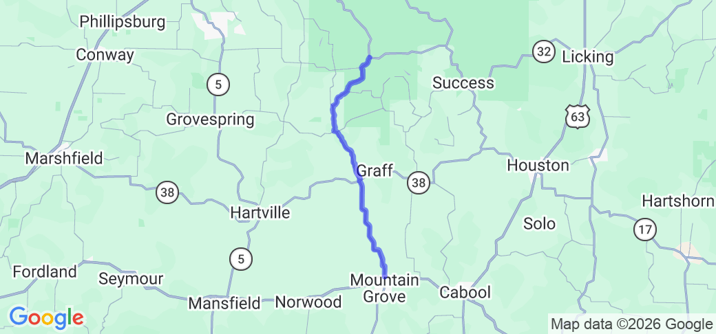
From the intersection of US 60 and MO-95 in Mountain Grove, MO, head north on MO-95 for approximately 29 miles to the intersection of MO-95 and MO-32 in Lynchburg, MO.
Scenery
The route travels through the Missouri Ozarks, over rolling hills, staying mostly on the ridge tops. The southern half is mostly open farm fields with occasional stands of trees, while the northern half is more heavily wooded, especially the section in the Mark Twain National Forest.
Drive Enjoyment
The southern half of the route, heading north from Mountain Grove, consists of a number of longer straight sections connected by tight, technical curves, with near constant small rolling hills. The northern half, north of MO-38, becomes more curvy and hilly, as well as more wooded. The road surface is a combination of older rolled asphalt and chip and seal pavement, with some large patching.
Tourism Opportunities
Mountain Grove has a few restaurants and shops, and a town square with a historic bandstand. The route travels past the Wilbur Allen Memorial Conservation Area and the Mean Center of the US Population (located about 1.3 miles east of MO-95 on County Rd 303, an unpaved road), and the northern end is in the Mark Twain National Forest. Just south of Manes, MO is Manes Music Makers, which holds a weekly music gathering on Fridays. The northern end of the route is anchored by the Lynchburg Country Store.


 Write a review


 | United States")


- Ranch Roads 335, 336,337a | United States")


 | United States")


 | United States")


