Written Directions
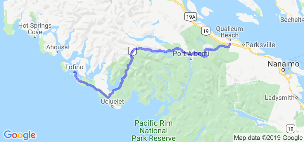
The eastern end of this highway is located 45 kms north of Nanaimo in Qualicum Beach, at the intersection of Hwy 19 and Hwy 4. The western terminus is located in Tofino.

"Experience the romantic isolation of the region. Just west of Parksville on the east coast of Vancouver Island, the beautiful Pacific Rim Highway (Highway 4) begins to wind across the spine of the Vancouver Island Mountains to Port Alberni and the open ocean at Ucluelet and Tofino, all three of which are sheltered harbours. This is the route to the Pacific Rim National Park."
Scenery
This gorgeous route twists and turns through mountains, rivers and valleys. At the western end is the Long Beach Unit of The Pacific Rim National Park Reserve of Canada, which offers many hiking trails through rainforests and beaches.
Drive Enjoyment
The majority of Highway 4's length is composed of a two-lane configuration. The pavement is in good condition. Many sweeping curves, but nothing too technical.
Tourism Opportunities
Half an hour west of Qualicum Beach is the city of Port Alberni. West of that services are very sparse until you get to Pacific Rim National Park. Just ten minutes from Qualicum Beach is the town of Coombs. Visit Goats on Roof Old Country Market.
Motorcycle Road Additional info
Highway 4 is the longest east-west main vehicle route on Vancouver Island, British Columbia, Canada, with a total length of 161 km (100 mi). It known locally as the Alberni Highway to the east of Port Alberni and the Pacific Rim Highway to the west.


