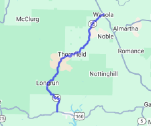
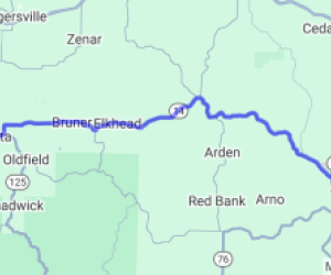
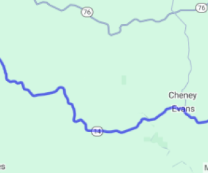
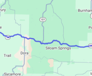
Written Directions
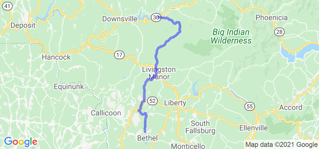
North Entrance: BWS Rd #8 off Hwy 30 on the south-side of the bridge crossing Pepacton Reservoir; head SE (slight right) on Barkaboom Road / Big Pond Rd until end; turn South (slight right) on Beaverkill Rd until it ends; turn left on Old Rte 17 for a few hundred yards then a slight right on to Covered Bride Road until end; left on Creamery Road ending at Main Street in Livingston Manor. Turn right on Main Street / Shandelee Rd, util it ends, turn right on Hwy 52 at Youngsville; left on Briscoe Road (144) and right on Hurd Road, follow until the intersection with W Shore Rd.
Scenery
Scenic valley route along Barkaboom Stream and Beaver Kill in the northern section and scenic rural farmland in the southern section. Wonderful scenery for all seasons and a special treat during the autumn colors.
Drive Enjoyment
Curvy county roads with modest elevation changes. Road conditions vary from tar/chip surface to solid pavement in sections, well maintained with minimal potholes. Minimal traffic but watch for wildlife, hikers, farm equipment and gravel in sections.
Tourism Opportunities
Beaver Kill Covered Bridge Park area (facilities); Livingston Manor Covered Bridge Park; Town of Livingston Manor; Woodstock Monument Historic Site; Bethel Woods Center for the Arts & Museum.
Motorcycle Road Additional info
"By the time we got to Woodstock
We were half a million strong
And everywhere there was song and celebration ...."
Ride safe, be courteous, travel well.