Written Directions
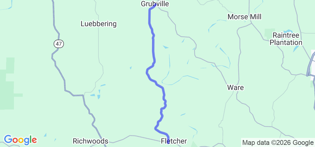
Take your best route to just west of Dittmer, MO on MO-30 to the intersection of Hwy Y. Head south on Hwy Y for 1,2 miles to the intersection with Hwy WW (NOTE: The intersection is at the end of a slow, 20 MPH curve. The sign for Hwy WW is well before the curve, and the curve is almost blind to the intersection.) Turn right onto Hwy WW, and then proceed for 10.3 miles to the intersection with Hwy H. From this intersection, you can either go west (right) to MO-47 and Richwoods or east (left) to MO-21 and De Soto.
Scenery
The route is almost entirely tree-lined/covered, with occasional breaks for farms, ranches, or yards. The route alternates traveling along hill ridges and dropping into creek valleys, with some nice scenic views as you begin to drop into the valleys.
Drive Enjoyment
The route is almost constant curves and elevation changes, as it travels over ridges and creek valleys. It begins with some sweeping 50 MPH curves, which then tighten to a series of 40 MPH curves in succession in the middle portion of the route, then becomes even twistier with s sequence of 30-35 MPH curves near the end of the route, before opening up with a few final sweeping turns before Hwy H = all with frequent elevation changes due to the rolling hills. The road is well-maintained rolled asphalt.
Tourism Opportunities
No real sites or amenities along this route, just nice scenery.
Motorcycle Road Additional info
This route is a nice alternative to Hwy Y between MO-30 and MO-21, and is often combined with Brown Ford's Road and/or Hwy H.


 Write a review


 | United States")


- Ranch Roads 335, 336,337a | United States")


 | United States")


 | United States")


