Written Directions
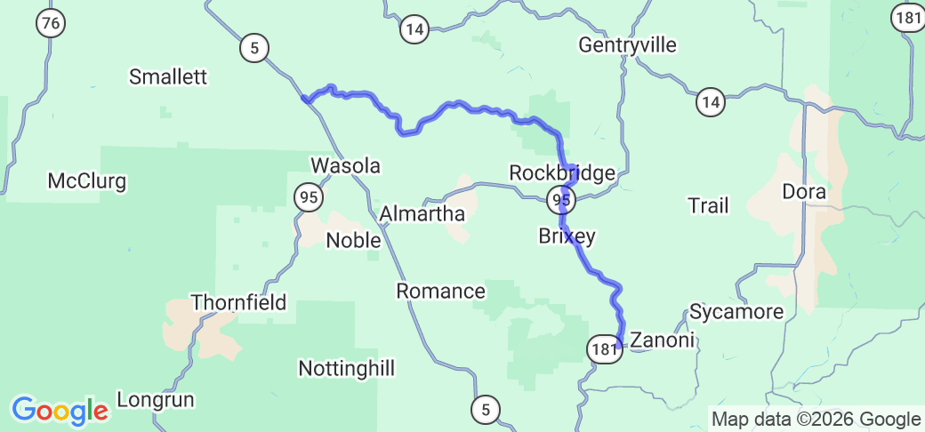
Head south from Ava, MO on MO-5 for approximately 10.5 miles, to the intersection with Hwy N. Turn left onto Hwy N, and follow the road for approximately 23.2 miles to the intersection with MO-181.
Scenery
The route travels through the Missouri Ozark hills and creek valleys, through woods (at times dense), yards, and open creek flood plains. The near constant elevation changes frequently provide nice panoramic views, and the woods provide spectacular fall color.
Drive Enjoyment
The route is very hilly and curvy, while not overly technical. The rolling nature of the route and the often heavy woods create many curves with both blind apexes and blind crest, as the road curves over the crest of a rise. The road surface is well maintained rolled asphalt.
Tourism Opportunities
The route itself travels through Bryant Creek State Park. The north end is just south of Ava, MO, and the south end is just northeast of Gainesville, MO.


 Write a review


 | United States")


- Ranch Roads 335, 336,337a | United States")


 | United States")


 | United States")


