Overall Route Rating
speedo-meter speedo-arrow
speedo-meter-grey
3.75 out of 5 Rider Rating 3.75
4 Reviews

Motorcycle Route Author

profile Image
By Guest (0 McR Points) on Dec 31, 2006

Rider Reviews

No Image Found
Jonny Law
July 27, 2011
If you are looking to get lost, this is a great…
Thumbsup
No Image Found
sproulx
95 McR Points
November 17, 2020
Good
Thumbsup

Written Directions

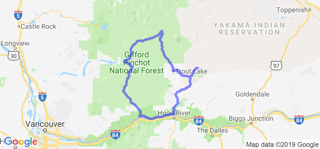
Start in Stevenson, WA at Skamania Lodge (or an Econo Lodge nearby). Go east on SR-14 along Columbia River for 20 miles to Bingen, Washington. Turn left onto SR-141 heading north. In the town of BZ Corner turn right onto BZ-Glenwood Hwy. Follow county road to the small town of Glenwood where there is food/gas. Follow signs to town of Trout lake (last services for 60 miles). Follow signs to Forest Road 23 toward Randle. After 20 miles follow signs for Forest Road 90 toward Cougar (west). At milepost 20 turn left (south) onto Curly Creek Road, or detour straight ahead 4 miles to Eagle's Cliff store/gas/cabins. At the end of Curly Ck Rd turn right onto Wind River Hwy and follow signs as you head south towards Carson. Food/gas in Carson. From Carson keep following Wind River Hwy back to SR-14 and complete the loop 5 miles back to Stevenson.

Scenery

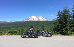
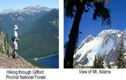
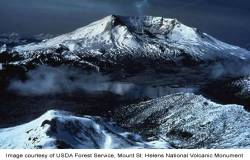
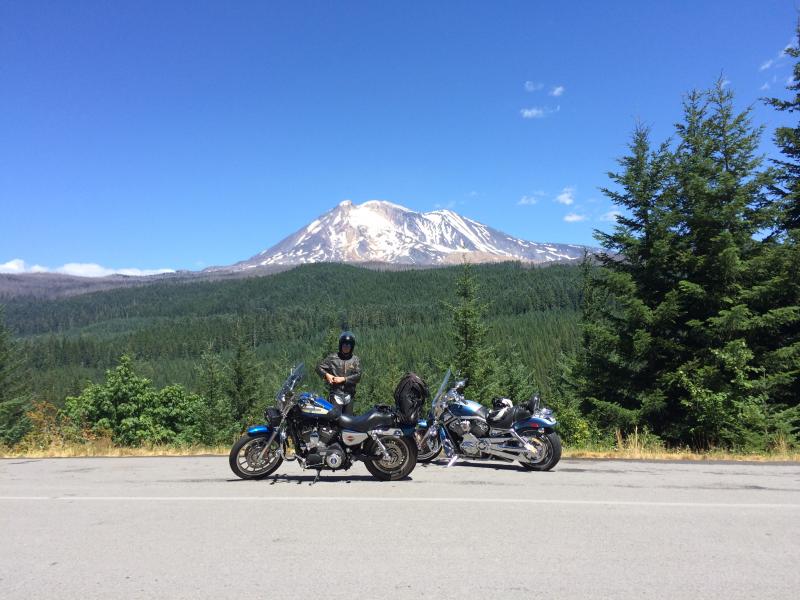
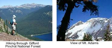
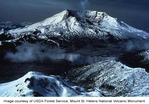
Travel along the incredible Columbia River where you stop and watch windsurfers, through farm country and deep forests. You'll take in views of Mt Hood, Mt. Adams, and Mt. St. Helens as you travel through the Gifford Pinchot National Forest.

Drive Enjoyment

Roads vary from paved two lane state roads to paved Forest Service Roads. One stretch 7/10 mile long of gravel on Forest Road 90.

Tourism Opportunities

White Salmon/Bingen has restaurants and lodging. Glenwood and Trout Lake both have great cafe and gas, and Carson has a couple of cafes and gas. Skamania Lodge in Stevenson has wonderful lodging and restaurant.

Services in Stevenson, Bingen/White Salmon, BZ Corner, Trout Lake, and Carson. Forest Service campground on Forest Rd 90 at Lower Falls. Rustic cabins and general store at Eagle's Cliff. Cell phone service is spotty. Take a camera! Photo ops along the entire route.

Motorcycle Road Additional info

- View the weather forecast for this area from Yahoo weather . - Washington State Parks and Recreation Commission
 

Top Images

Share Your Comments ( 4 )
  Earn McR Points
No Image Found
Jonny Law
July 27, 2011
0 McR Points
Motorcycle Type : Sport
If you are looking to get lost, this is a great start. Have personally only driven 2/3 of this route, but it is a scenic overload. Spring and Fall are the best times of year to avoid the campers.
Was this road review helpful?
Thumbsup
0 riders found this road review useful
No Image Found
sproulx
November 17, 2020
95 McR Points
Motorcycle Type : Cruiser
Good
Was this road review helpful?
Thumbsup
0 riders found this road review useful
No Image Found
Col. Gorge Lady Rider
July 19, 2015
0 McR Points
Motorcycle Type : Cruiser
Gorgeous ride. Live in Hood River Valley, so I did more like a 180-mile ride on a warm summer day. Took about 8 hours. Lots of twistys on relatively quiet roads. There are 2 spots of gravel patches on NF-23 about 200 yards each, and the 7/10 mile patch on NF-90. The forest service roads can be rough, there are sinkholes on outer edge. Stop at the Trout Lake gas station for a map of area, makes it easy to navigate. Good idea to top off the gas tank. Also just past the Eagle Cliff General Store there is an awesome swimming hole, on the Lewis River. If you stop and swim make sure you get a NW Forest Pass,first, you can get at Mt. Adams Ranger Station in Trout Lake and other places. The road to Carson, (Curly Creek Rd) is AWESOME. Stop at McClellan Viewpoint for a view of Mt. St. Helens, then be prepared for lots of smooth twistys on newly paved road. This ride would also be great during the fall colors.
Was this road review helpful?
Thumbsup
0 riders found this road review useful