Written Directions
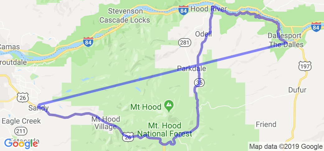
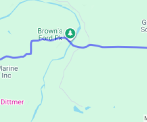
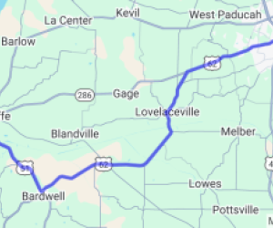
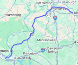
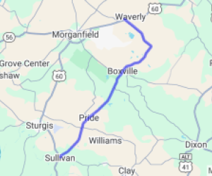
I recommend you start your route in Sandy Oregon just southeast of Portland. Take US Rte 26 southeast out of Sandy towards the town of Government Camp. Soon you will want to get on State Rte 35 heading north towards the town of Hood River. If you want to visit the town of The Dalles, head east on I-84. In the town of Mosier, you can get off the Interstate and continue to The Dalles on State Route 30 which passes through a couple state parks. Take SR 30 all the way into The Dalles. On the way back, I suggest you cross the river into Washington state and take State Route 14 East alll the way back to The Hood River bridge where you can cross back into Hood River Oregon and head back the same way you came.
Scenery
This world-class route takes you just outside the city of Portland and around awe-inspiring Mt. Hood (Oregon's highest peak), through the Mount Hood National Forest and along the mighty Columbia River. This route offers not only incredible scenery but also a wide variety of activities and a large number of historical points of interest based on its Lewis and Clark and Oregon Trail connections. It is one of the 25 elite "All-American Roads" designated by the US Dept. of Transportation and is described in the Reader's Digest guide to the Most Scenic Drives in America. On this route you start out by driving through the Mt Hood National Forest that consist of over a million acres of fertile mountain forests. There you may see a variety of animals such as bears or mountain cats and see beautiful displays of waterfalls and wildflowers. You will also make your way through different mountain passes and have many fantastic photo opportunities to catch the majesty of 11,235 ft dormant volcano Mount Hood, Oregon's highest point. Next the focus of you attention will turn to the rivers and canyons along the way. You will see the Hood, Salmon and Columbia rivers and the canyons that some of them have carved. You may even be able to observe the recent growth of windsurfers working their way across the Columbia. You will see historical buildings in the town of The Dalles and travel some of the same areas as Lewis and Clark did when the arrived in the area around 1805. Along the Columbia, near the Bonneville Dam you will see a series of fish ladders that Salmon use to leap up and back to the waters where they were hatched. These Salmon are returning from as far as Alaska to spawn in their native waters.
McR user "JTV69" added the following guidance in Aug of 2021: The road starts at Exit 69 off I-84, and runs east to The Dalles, where it turns into the main business drag through town. In the beginning you're at river level on the Mighty Columbia, and within 10 miles you're at the top of the Gorge looking down into valleys and across canyons and old farms that look much as they must have 150 years ago. There are farms on the way up, and at the top there is a lookout with restrooms and incredible vistas, where you can't see or hear the freeway below, and you can look out to the river. When you leave the pullout, you start the really fun part of the ride - the next 10 miles are twisties taking you back down the cliff. There is a good chance you'll see deer, but don't get distracted because the road is technical here.
Drive Enjoyment
The roads along this route are outstanding for motorcycles because of the mountains and rivers they tend to follow. The have ample twists, turns, accents and descents. One of the nicer sections is found when you get on Rte 30 heading west after returning from The Dalles (Note: you will be taking I-84 to The Dalles yet when returning you will take the older and more exciting Rte 30). This section offers some real 'driving excitement' for those of you who love when the road gets really twisted up. Also make sure you remember to exit I-84 and get on Rte 30 again at exit 35. This will take you to and past the Ainsworth State Park to the very end of the route.
McR user "JTV69" added the following guidance in Aug of 2021: The road is in good condition and is well-maintained. This is a great side trip if you're heading east-west on I-84 and want a change of pace. The Mosier side is less technical - though still plenty curvy - and has a more gradual elevation change. The Dalles' side is steeper and with many more turns. It's one of my favorite short rides in Oregon or Washington.
Tourism Opportunities
At the start of your trip you will want to checkout the Mount Hood Info center that you will find on US 26 about 15 miles after passing the town of Sandy. Next you will be able to stop at the Wildwood Recreation Site for hiking along its many trails. Two miles up the road the Zig Zag Ranger Station offers Rhododendron Gardens that will show you the plants that are found blanketing much of the grounds of the northwestern Pacific mountain forests. You will also pass a few key points along the historic Oregon trail that are interesting to see and try to think back to the struggles the pioneers must have had traversing such a hazardous part of the country. Make sure and check out the Timberline Lodge. You'll have to watch for the signs and take a 6-mile detour to the North of Rte 26. Here you will see the Timberline Lodge built by the WPA during the Great Depression at the base of Mount Hood. In addition to the impressive structure you will find a series of hiking trails that meander through the fields of flowers or you can take a chairlift up onto Mount Hood. As you continue along the route you will travel towards the Columbia River (now on Rte 35, see directions/map below) and getting closer to I-84 make sure you stop at Panorama Point and take in one of the best views of the entire route. At the town of Hood River you can take the Mount Hood Railroad on a scenic 44-mile journey through the Hood River valley. When you get to the Cascade locks you can take the bridge that crosses the Columbia into Washington state or climb onboard the Columbia George. This boat is a 'stern-wheeler' that travels the river throughout the summer. Further up the route you will want to stop and see the 620 ft Maltnomah Falls ... bring plenty of film for this part. Next you need to stop at Crown Point State Park and take in the incredible views this park offers from it unique vantage point upon a immense volcanic rock. The rock is 700 ft above see level and gives you more opportunities to take some of the best photos of your life or kick yourself for not bringing that extra role of film you thought about.
McR user "JTV69" added the following guidance in Aug of 2021: There are no services on the road except the aforementioned pull out, but there's plenty of touristy stuff in Hood River to the West or The Dalles to the east.
Motorcycle Road Additional info
- View the weather forecast for this area from Yahoo weather .

















 Write a review
