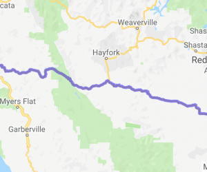
Written Directions
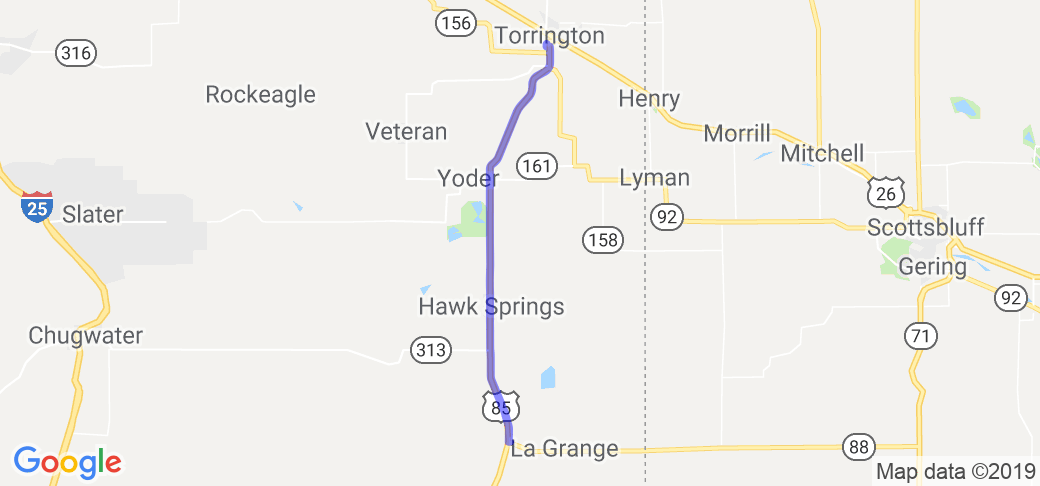
From the North, start in Torrington, near the south ramp of the overpass (near Kelly's Super Market) and head south. If heading north, Hwy 151/Bear Mountain Station (four miles west of LaGrange/8 miles from the Nebraska state line) is where this route picks up.
Scenery
South end has has loads of crop and pasture land, a few ranches, and a few windmills. Bear Mountain and 66 Mountain are both visible from the highway. Near Hawk Springs expect to see deer or wild turkeys. a little further north is a wildlife refuge with some small lakes, waterfowl and pheasants. The entire road is mostly flat till you get to the Yoder junction and the gentle hills till you reach Torrington. On the North end of the route, you can see Laramie Peak to the west on a clear day. Scenic visibility can be 5-10 miles from most spots of the road.
Drive Enjoyment
The entire road surface is well maintained with minimal potholes and tar snakes. The Railroad crossing just north of the Yoder junction (the only one on the route outside of Torrington) can be very rough. Two lane road the entire stretch.
Tourism Opportunities
Torrington has numerous dining establishments to choose from, both fast-food chains and ma-n-pop shops. Torrington has several fuel stations to choose from and they have a homesteader/railroad museum on the south end of town, right along the route.
Hawk Springs has two popular eateries (one on each end of "town".
LaGrange is four miles east of 85 on WY-151. They offer a small store and resteraunt, as well as 24 hour fuel pumps (they only offer 87 octane and diesel)