Written Directions
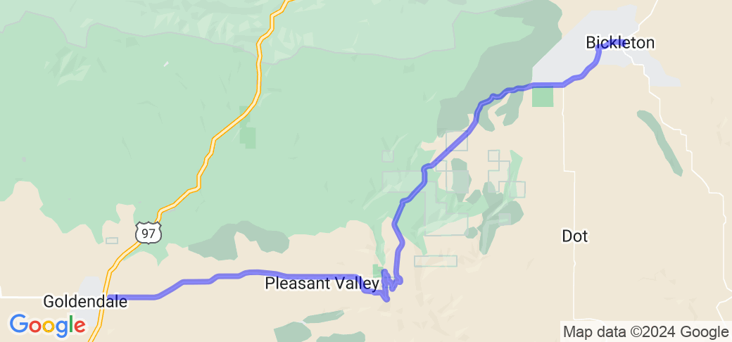
Take Bickleton Road east out of Goldendale about 36 miles to Bickleton. The road east out of Bickleton changes to the Mabton Bickleton Road for the remaining 27 miles into Mabton. There are a few options to head south and connect to the Columbia River but plan your route and fuel up in Goldendale.
Scenery
Pretty straight road east out of Glendalewith with views of the grasslands and wind turbines to the south and forest to the north for at least 12 miles before you get to Rock Creek. Nice views of the scenic canyon at Rock Creek which is a good place for the adventure riders to head south towards the Columbia River. Road twists a bit in and out of forest and prarie into Cleveland and Bickelton and watch for potholes on this section. After Bickelton the road winds merrily through the dryland wheat and the pavement improves the further east you go. A few switchbacks and sweeping corners take you to the grade above Mabton which also offers a great view of yhe Yakima Valley. Stop in Bickleton for snacks but no fuel here. Cleveland has an annual rodeo and merry-go-round and check out the miles of bluebird houses along the ride. If you want to break off south there are paved roads out of Alderdale, Cleveland and Bickleton that will take to the Columbia River if you don't want to visit Mabton. No fuel out here so plan accordingly.
Drive Enjoyment
First 12 miles are kind of straight but after Rock Creek it gets much much better. No services or formal rest areas across the whole 63 miles but plenty of places to pull off safely. Pavement gets worse as you head east but then improves greatly after Bickelton.
Tourism Opportunities
Atypical eastern Washington scenery from groves of scrub oaks, pine forests, open pastures and native grasslands. Bar and cafe in Bickelton where you can get a beer and buy a bluebird house to take home.


























 Write a review
