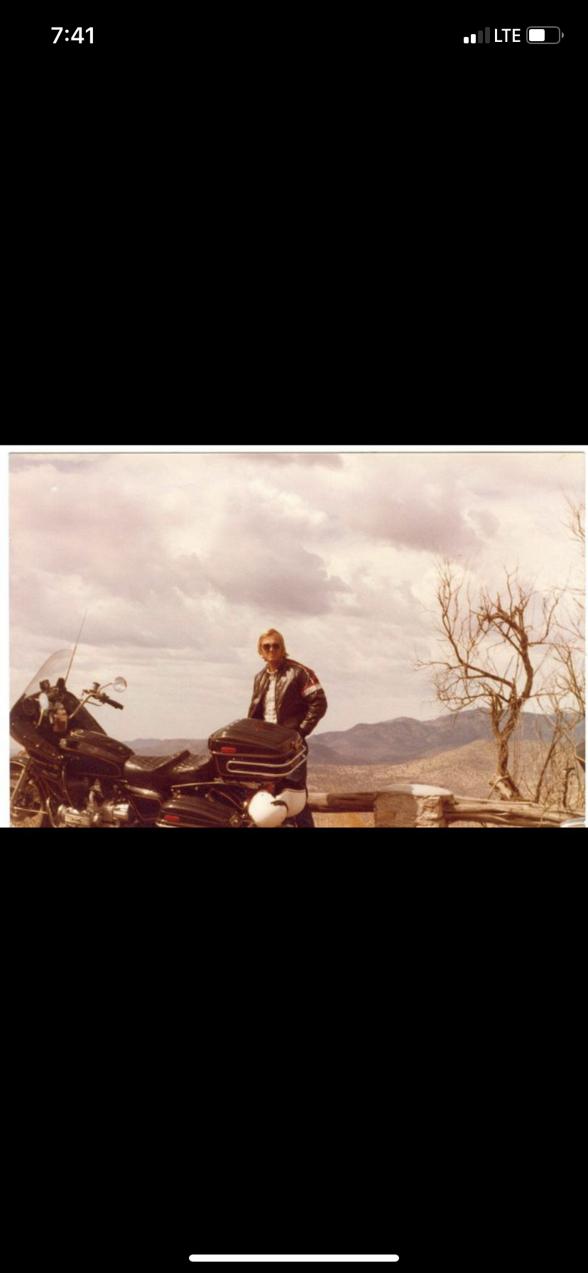
Written Directions
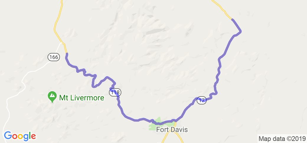
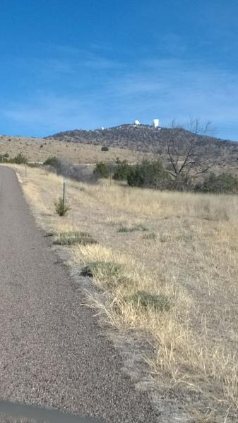
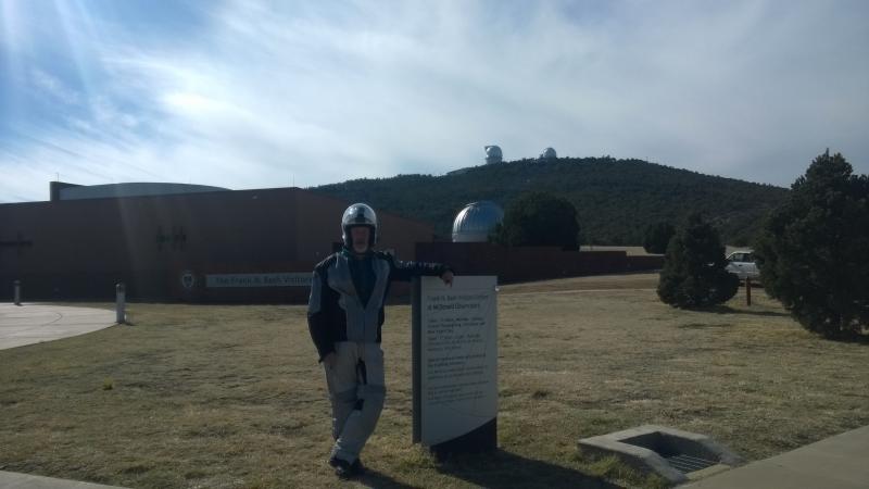
From the historic town of Fort Davis, Texas, take hwy 118 to the McDonald Observatory, about ten miles. That section is the prettiest scenery on this road. Turn around and head back to Fort Davis. Head North on Hwy 17 for about 20 miles. Breathtaking scenery is along this road.
Scenery
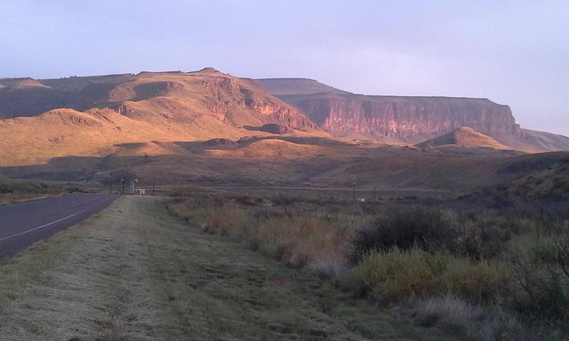
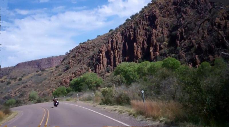
These roads are in the middle of the beautiful Davis Mountains about 35 miles off Interstate 10 in West Central Texas. This is a Horseshoe route to allow for viewing the mountains coming and going and avoiding the flat prairies to the North. The town of Fort Davis has nice accommodations, motels, restaurants and gas, along with a Snake and Reptile museum. The colors of the Mountain cliffs range from orange to maroon to rainbow. Words really can't describe the ride through these Mountains. And it offers some of the coolest weather in Texas during the Summer.
Drive Enjoyment
The roads have a few twisties but mainly nice curves to enjoy the changing landscaape. Pavement is very smooth for back country roads. There are some steep grades but its mostly through the Canyons.
Tourism Opportunities
The number one attraction on this route is the McDonald Observatory. Lots of Campsites in the Fort Davis State Park along with Bar-B-Q pits for a day visit. The town of Fort Davis has many Historic sites along with historic buildings turned into restaurants. My favorite place was a small Snakes and Reptiles museum on the outskirts of town.
Motorcycle Road Additional info


 Write a review


 | United States")


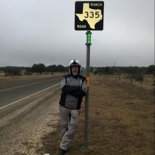
- Ranch Roads 335, 336,337a | United States")


 | United States")


