Motorcycle Route Author

By Guest (0 McR Points)
on Apr 14, 1998
Rider Reviews
Written Directions
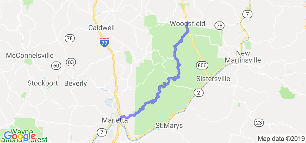
The directions to and through this route are straight forward. From Marietta Ohio, take state route 26 east all the way to the route's end in Woodsfield.Scenery
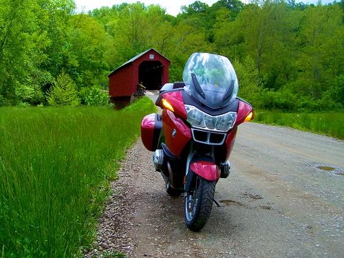
This route shows you a few of the state of Ohio's 2,000 covered bridges. The route is one of the country's prestigious official National Forest Scenic Byways.This is a great hilly section of southeastern Ohio near the West Virginia border. The entire route travels through the Wayne National Forest and follows the path of the Muskingum River. There are about four covered bridges for you to see along the way. Only one of which still allows you to take your vehicle across. The route takes you through the river valley across pretty farm country, through dense woods and up and around tall river bluffs.
Drive Enjoyment
The road is great for bikes! It twists and turns as it follows the river as well as climbs and dives through the hills and river bluffs of southern Ohio. Truly an outstanding Ohio motorcycle-road!!!Tourism Opportunities
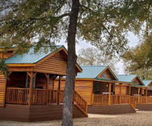
Before you get started on this route, visit the Forest Service Office (614-373-9055) in Marietta and pick up a brochure that will highlight 10 points-of-interest you will find on the route.There are two small rustic national forest campgrounds along the route (at Hune Bridge and Haught Run Recreation area).
The route begins in the historic town of Marietta Ohio. This town sits on the Ohio River and was a major port along the river when shipping along the river thrived. The town has multiple museums and a gallery for those of you who enjoy attractions like these. You can learn about this at the Ohio River Museum and learn about the town's history as an outpost at the Campus Martius Museum.
At the end of the route you'll end up in Woodsfield (at state road 800 head north for about 3 miles) where you can grab a bite to eat at one of their restaurants. If you are in to hiking, you can access the North Country National Scenic Trail from this route. This national trail will one day connect the state of New York to North Dakota. A section of this National Trail travels from the town of Woodsfield to the Hune Bridge.

