Motorcycle Route Author

By Guest (0 McR Points)
on Jul 31, 2001
Rider Reviews
Written Directions
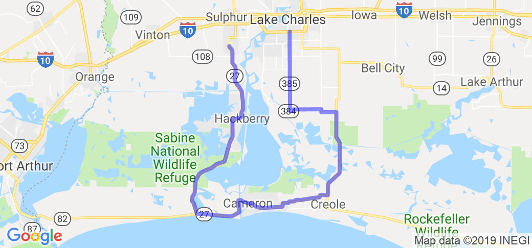
Start this route in Sulphur, LA and head south on route 27. Pass through Hackberry and on to Holly Beach. After Holly Beach,. 27 turns east and eventually changes names to Route 82 and eventually turns back into Route 27 and heads north. After you pass the town of Creole and head due north on route 27 look for Route 384 off to the left and take that route till you see 385 off to the right and heading north. Get on 385 heading north all the way into the routes end at Lake Charles, LA.Scenery
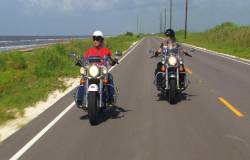
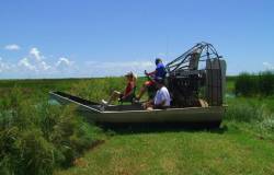
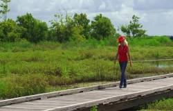
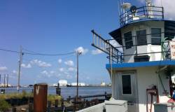
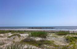
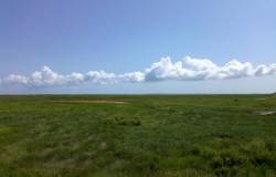
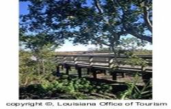
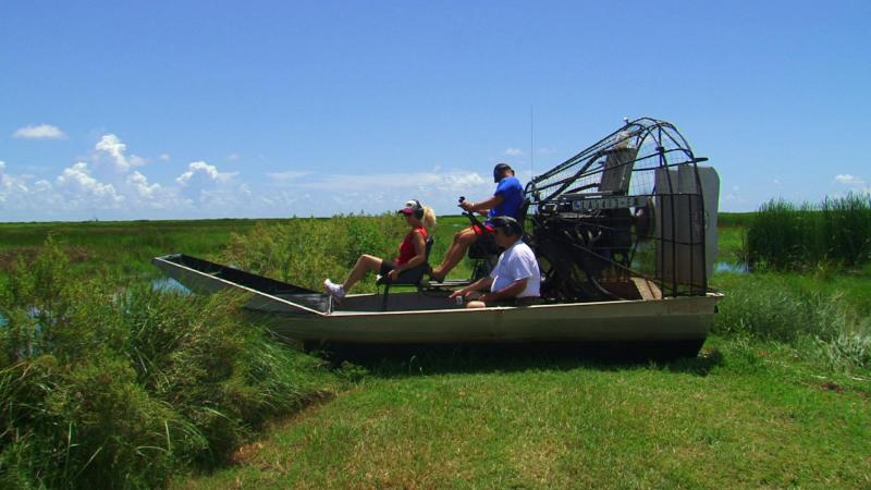
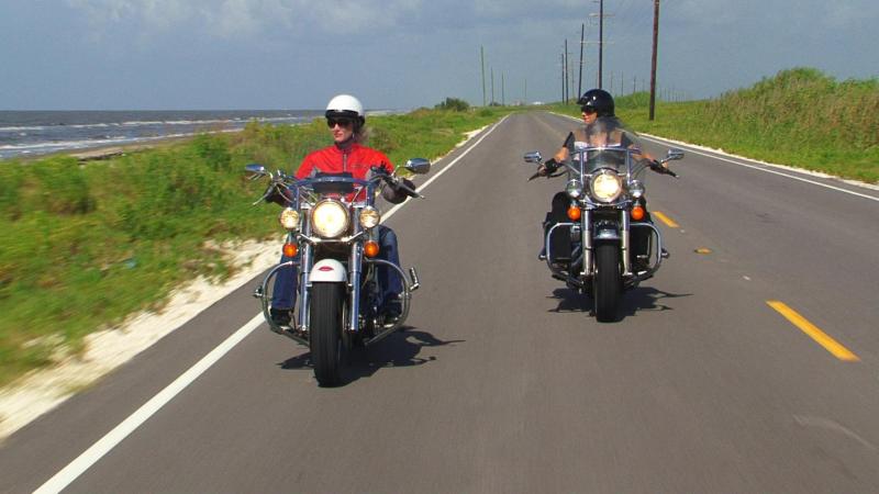
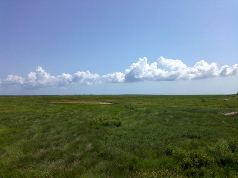
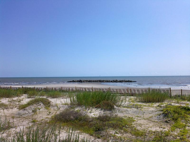
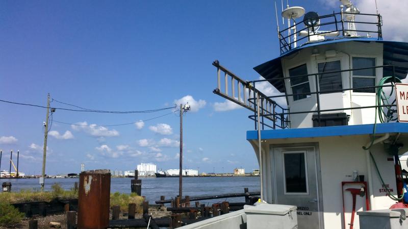
On this route you will see a wide variety of interesting things such as the Intracoastal Waterway, which is a man made channel that goes all the way from Texas to Florida. The route starts out in flat marshlands. Near Rte. 27 you will see Louisiana oil fields on the western side of the road and the very large Calcasieu Lake on the eastern side. There you will see shrimp boats trying to catch shrimp heading to the Gulf of Mexico. You will pass by three natural wildlife preserves and have ample opportunities to see some of Cajun country wildlife. You will also drive along the coast where Louisiana meets the Gulf. Towards the end of the trip you will be traveling through grasslands and even rice fields.Drive Enjoyment
The roads that make up this route are like most of the Gulf coastal areas, pretty flat. So I gave the motorcycle road quality factor a 2.Tourism Opportunities
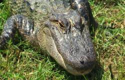
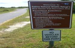
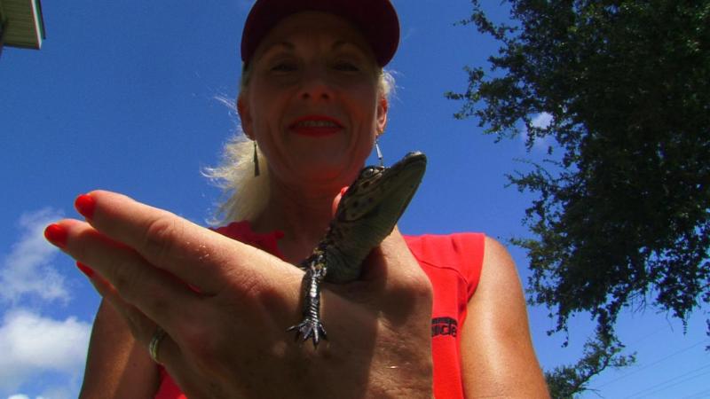
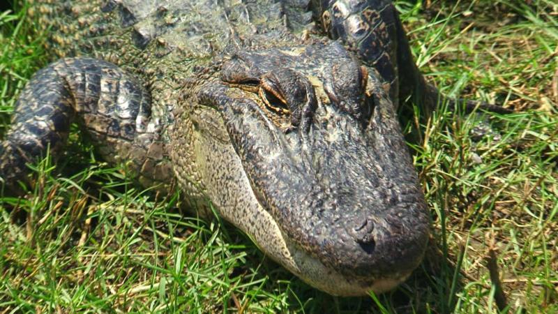
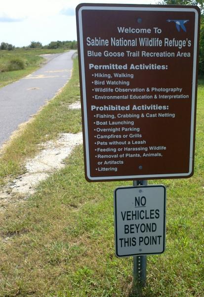
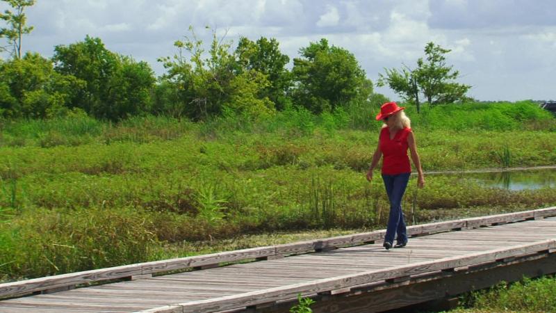
Sabine National Wildlife Refuge - home of a 1.5 mile nature trail that provides some great opportunities for visitors to see the local wildlife including alligators, egrets, roseate spoonbills and many other forms of waterfowl. At Holly Beach you'll find outstanding shell collecting from October through February. Free ferry boat - about 10 miles after you turn north on to Rte. 27/81 you can take a ferry across a shipping channel to the town of Cameron. Cameron Prairie National Wildlife Refuge (318-598-2216) - here you will see very different landscape then the views offered at Sabine National Wildlife Refuge ... grasslands rather than marshes. City of Lake Charles offers many blocks of classic Victorian architecture. The city also holds various festivals throughout the year. Call or visit their visitor center for more information (800-456-SWLA or 318-436-9588).Motorcycle Road Additional info
- View the weather forecast for this area from Yahoo weather . - Southwest Louisiana/Lake Charles Visitors Bureau (800-456-7952) - Louisiana Office of TourismTop Images
DocRod66
September 24, 2012
55 McR Points
Motorcycle Type : Sport - Touring
Enjoyed my ride but I wouldn't haved on a hotter day. It was in the Hi-80s when I went. About half way I Found a shady grove where homes use to be. At the SouthWest corner of the route where 27 and 82 hwy intersect, the Creole Nature Trail Spur runs west where you can access and drive on the beach for miles. Back on the route I stayed on Hwy 27 until I reached Hwy 384, an Alternate to the Trail. This will take you right by the Prien Lake Park and then on up and over on the Prien Lake Rd to the West and then North on Rd 1138/Nelson Rd is the L'Auberge Casino - very nice,BTW. I dropt a twenty or two, But no luck.
Was this road review helpful?
Thumbsup
1 riders found this road review useful

Tyger
June 13, 2016
0 McR Points
Motorcycle Type : Cruiser
Great ride in the fall and spring. Do not go at night...too many bugs in the marsh. watch out for the abundance of road kill trashing the road. Heavy traffic with oil filed trucks and heavy equipment exceeding the speed limit. Few fuel stops and fewer eateries. It is beautiful but not the best of rides for a bike.
Was this road review helpful?
Thumbsup
0 riders found this road review useful
Photo Gallery of Creole Nature Trail (12 Photos)
Photo
0
Photo
0
Photo
0
Photo
0
Photo
0
Photo
0
Photo
0
Photo
0
Photo
0
Photo
0
Photo
0
Photo
0
Interactive Views Along This Route
Start point
Latitude 30.1849
Longitude -93.37609
Way point 1
Latitude 29.99751
Longitude -93.34472
Way point 2
Latitude 29.80332
Longitude -93.35139
Way point 3
Latitude 30.00942
Longitude -93.08888
Way point 4
Latitude 30.01234
Longitude -93.2126
End point
Latitude 30.19637
Longitude -93.21316

