Overall Route Rating
speedo-meter speedo-arrow
speedo-meter-grey
0 out of 5 Rider Rating 0
0 Review

Motorcycle Route Author

profile Image
By Bewo69 (10 McR Points) on Mar 30, 2015

Rider Reviews

No reviews added for this route. Write a review
Written Directions

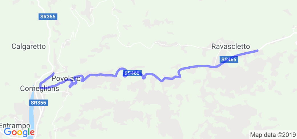
In Ravascletto, get on SR465 and head west to Runchia.

Scenery

The route travels through wonderful green Italian mountain landscapes with green blanketed mountain valleys and rock outcroppings along the way. Along the route lakes are visible and depending on the time of the year you travel, the peaks (and the roads!) may be covered in snow.

Drive Enjoyment

Panoramica delle Vette is a mountain road in the province of Udine Italy that has a peak elevation of 1,989 m (6525 ft) above sea level. The elevation grades are anywhere between 12 and 18% and you will be climbing or descending the entire route. The entire stretch is narrow and is essentially a single wide road with no divider line. There are a few switch backs that you will have to contend with as well. As for the surface of the road, it is primarily gravel but does have some paved areas in some sections. This road is listed as one of the world's most dangerous roads on the website DangerousRoads.Org.

Tourism Opportunities

There are absolutely no amenities along this route. However there are towns at both ends so you will be able to get services such as food, fuel, lodging, etc.

Motorcycle Road Additional info

The below video entitled Panoramica delle vette the Compilation will show you both the beauty and the peril this route features:
 

No reviews added for this route. Write a review