Written Directions
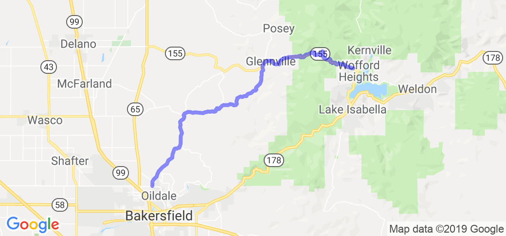
You start from Bakersfield, California. If you're near the Meadows Field Municipal Airport on the corner of 7th Standard (Mere Haggard Dr.) and Airport Dr. Head North on Airport drive and go North/East at the 4 way stop which will bring you to S. Granite Rd. there is a Y split about 12 miles out if you go left (which is a very technical road the whole way through) you can still get to the same destination, you only have one decreasing radius turn (but it's a dangerous one), but the first half has very bad road conditions whereas the latter half (on 155) has great road conditions and is one of the grippiest roads I've ever ridden. Other than that Y split, everything else has signs and is pretty obvious.
Scenery
Starts off with a bit of dead grass, but about 10 miles in is very green and stays that way the rest of the ride. You can see plenty of farm land and lots of cattle grazing. You get up into the mountains with lots of trees and forest. Beautiful most days of the year.
Drive Enjoyment
There are sections of the road which are somewhat sketchy, but the road is maintained and usually in good riding condition. A few months out of the year near Shirley Meadows it is covered in ice and/or snow. The ride starts off with some fast, smooth sweepers which are great for getting the tires warm, the next section is a bit tedious with lots of blind corners and some unpredictable turns and traffic. Once you get past Woody/Glennville though its a great technical ride
Tourism Opportunities
Not very much to do, a few restaurants that are good to eat at and occasionally there are some events held in Glennville, but that's about it.
Motorcycle Road Additional info
- View the weather forecast for this area from Yahoo weather .