Written Directions
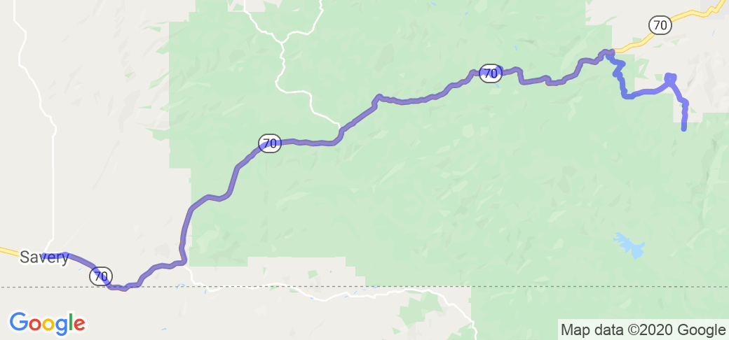
This 49-mile route route is a curving, climbing and falling, road through National Forests and crossing the Continental Divide. It is an equal or better ride than WY-130 through the Snowy Mountains. Be sure to have 75-miles of gas on board as the nearest stations are in Baggs, WY, on the west and Riverside, WY, on the east.
Scenery
This road follows the Enchantment River as it winds through the rugged terrain of a national forest in the Santa Madre Mountains. Lots of scenic pull offs to view the many mountains and the valleys between.
Drive Enjoyment
This road is a two lane state highway with sweeping curves and quite a few scenic pull offs. The road surface is rather good for being patched pavement. There was no sand or stones on the road surface.
Tourism Opportunities
There were almost no facilities on this route other than many campgrounds and pit toilets at hiking trail heads.


 - Laramie WY to Kearney NE | Nebraska")
 - Canyon loop south of Laramie | Colorado")


 Write a review

 - Medicine Bow Mountains Loop from Laramie WY | United States")


 | Wyoming")


