Written Directions
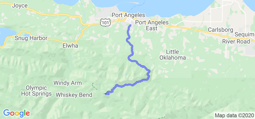
From downtown Port Angeles, the northern-most US city on the famed Hwy 101 Pacific Coast Highway, find S. Race Street. Head south on S. Race Street which, becomes Mt. Angeles Road after crossing E. Park Ave. After crossing E Park Road it is literally .2 miles (1 minute) to a fork in the road. Hurricane Ridge road angles right. Follow this to the top, giving the obligatory park fee (you are entering Olympic National Park) about 5 miles along.
Scenery
Pick a clear day. As the road winds higher and higher the expanse of Olympic National Park begins to open before you. First subtly with views to the east, but then as one swings around the south side of Rocky Peak, the views get better by the minute. Deep, dark valleys rising through subalpine meadows and stunted trees to barren ridges and stoney peaks are the order of the day. The summit parking lot is a treat, with panoramic 270degree views to Mt Carrie and the snows and ramparts of Olympus Mt, beyond.
Drive Enjoyment
Being a National Park, this road is impeccable. Smooth, creamy asphalt, a ribbon of sublime riding euphoria cut into the side of a mountain. Cliff above. Cliff below. This road even appears to be swept clean regularly. The only downside is that if you get stuck behind a slow-moving cager, you're stuck there for the duration. Recommended to play the waiting game at both the bottom and the top, to let traffic by and pick your moment. You may wish to really get your money's worth and go for a second or third run.
Tourism Opportunities
A visitors center at the summit provides restrooms, a gift shop, and minimal food/drink options.



















 Write a review
