Motorcycle Route Author

By Guest (0 McR Points)
on Jun 30, 2001
Rider Reviews
Written Directions
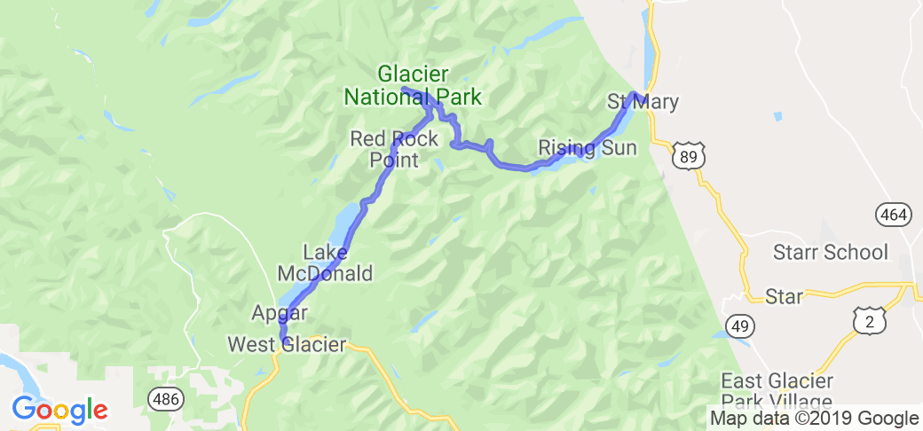
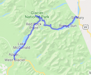
Start your route in St. Mary, MT and head west on Going-to-the-Sun Road all the way through Glacier National Park to the town of West Glacier.Scenery
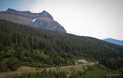
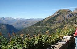
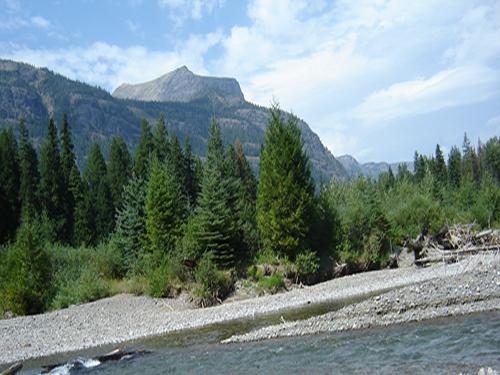
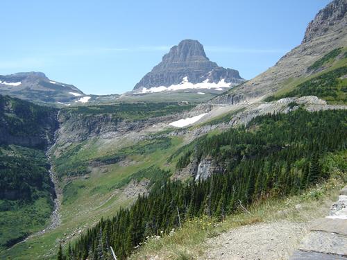
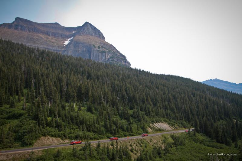
For mountain climbers, reaching Mt Everest is the ultimate claim to fame. It is in a remote area and very difficult to get to, its known for its cold and snow, and it provides some of the most challenging climbing in the world. For motorcycle riders, this route, Going-To-The-Sun Road is the MT Everest of continental US motorcycle-routes. It lies in a distant remote part of the United States near the Canadian border. It takes crews two months in the late spring/early summer to simply clear the road for travel. Snow banks up to 8 feet can line the road at certain points as late as July and August. And it has some of the twistiest turns and steepest elevation changes of any paved road in the US. You won't be disappointed by driving this road!!! This route goes from one end of Glacier National Park to the other end crossing through a magnificent section of the Rocky Mountains. The scenery as you can imagine is among the best in the WORLD. You will see jagged peaks, crystal mountain lakes, immense glaciers, unbelievable valley views, waterfalls, alpine wildflowers, meadows, streams and possibly alpine wildlife (mountain goats, elk, deer, squirrels, gopher, hawks). one of the countless incredible scenes you will seeDrive Enjoyment
Much of the road quality depends on the crowds. If you don't mind the traffic then you'll enjoy the turns and elevation climbs and falls. Also, keep in mind that the weather is a major factor up here and if you plan on making the trip in all but the middle of summer you would be very foolish not to make a few phone calls and make sure the roads aren't under snow. Overall the roads are in good shape and well maintained. tons of places to pull over and sit and watch or explore the surroundingsTourism Opportunities
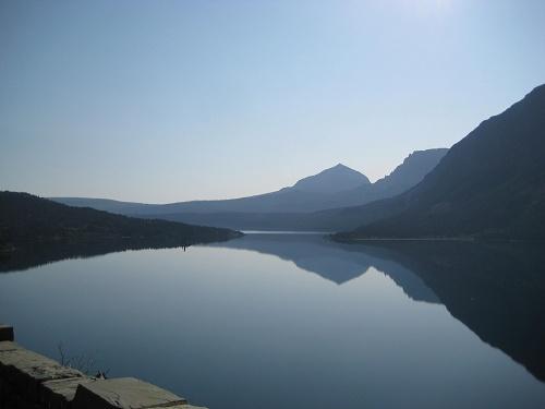
On this trip you'll want to make sure to bring plenty of film, warm clothing, and your hiking boots.The ride is only 50 miles but there are endless numbers of places to stop and stretch your legs as you take in views that are breathtaking.This route covers a remote area of Montana and if your looking for urban amenities (such as restaurants, craft shops, etc) you will not have much luck.Because of this we had to give the route a 3 in terms of its roadside-amenities ... it just wasn't balanced as well as some other routes in the Rockies.The below list of amenities are highlights of a few the stops that standout.Start out at St Mary Lake and take in the incredible 4,500 ft peaks that raise above the surface of the lake into that 'big sky' that Montana is famous for.
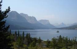
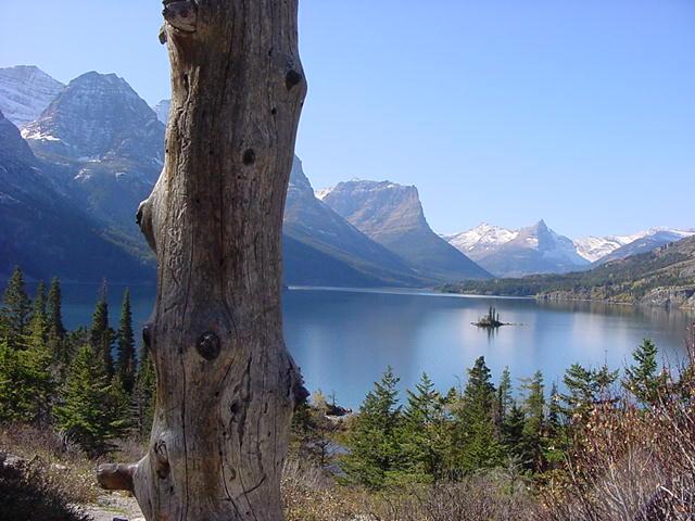
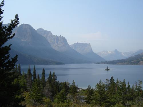
Perhaps the your favorite picture will be taken from the Wild Goose Island Turnout. Chances are you have seen a picture taken of this lake and island in a magazine or on a book cover. A helpless looking little island with its few trees sits in the middle of Wild Goose Lake and is surrounded by giant mountain peaks. You may want to try to time your photo for a sunrise or sunset here.
There are many short hiking trails (between 1 to 3 miles) at the various pullout areas such as Sun Point, St. Mary Falls (a fantastic looking cascading mountain waterfall), and Virginia Falls.
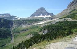
You will drive along a section known as Logan Pass and notice that next to the road are some sheer cliffs that demand you keep track of the road despite the magnetic scenery. A waterfall will actually come down off the uphill side and flow down onto the river and over the edge ... don't go with it over the edge with it! The pass is known for its patches of wildflowers and mountain peaks. Shortly after this you will want to stop at the visitor center and may even want to take a short 1.5 mile hike on the boardwalk-covered trail to the Hidden Lake Overlook.
The Garden Wall is a length of rocky cliffs that rise 1,000 feet and make up part of the continental divide. From here you will see an area that suffered from a 1967 lightning caused forest fire that scorched the area. After over thirty years the area is just recovering with young trees and shrubs.
At the Trail of Cedars you can you can walk along an elevated board walk through an ancient forest and see the blanket of alpine mosses and ferns that cover the forest floor.
Towards the end of the route, you may want to consider staying at the impressive Lake McDonald Lodge (602-207-6000). This is a famous rustic looking yet prestigious lodge that has a huge stone and log lobby complete with large dinning room. This is considered the 'Ritz in the Rockies.'
The end of the drive takes you into West Glacier, MT ... a town that has a lot of tourist traps (restaruants, gift shops, gas stations). ... A couple of tourist attractions that you really should check out are as follows: - Head west on Hwy 2 about 13 miles and you'll see the "House of Mystery" on the right ... its a place where supposedly there is some vortex (whatever that is) that causes things like marbles to role up hill and brooms to stand on their own. I saw that and more with my own eyes and I can't explain it but it was real. - Down the road there is a place with a huge wooden maze for humans to try to get through - Also, the town of Whitefish has a great lake with public beach if you want to hang out and enjoy a swim
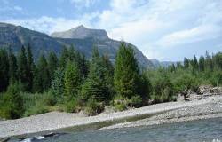
scenes like this are everywhere you look
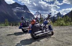
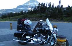
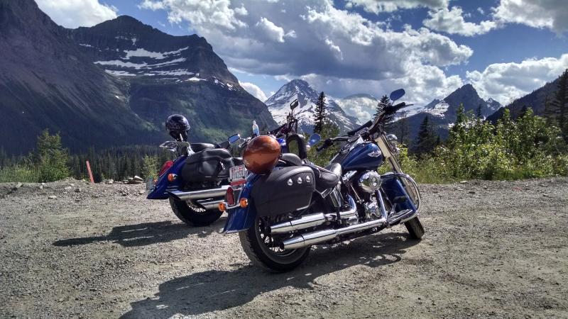
Photo contributed by visitor in Mar 09 - "Taken at the parking lot of Logan Pass in September 2008. It had snowed higher up as you can see and the weather was very chilly. Thank goodness for a warm jacket, but the sleeping bag wasn't warm enough"
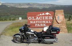
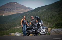
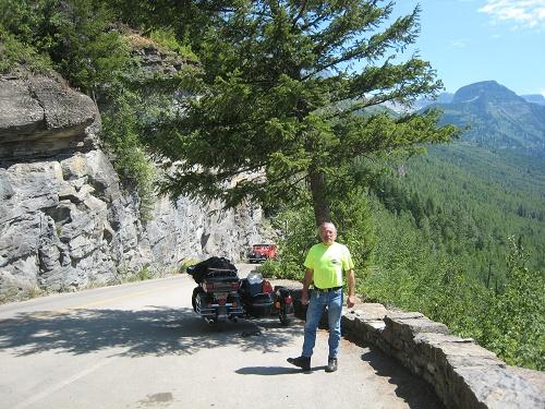
Photo contributed by visitor in May 09 - "Taking a break on going to the sun road in Glacier August 2008"
Photo contributed by visitor in Sep 09 - "This was taken about 9:30am on my way of the park. The glass like water was so calm. "
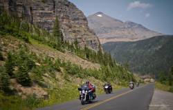
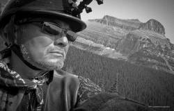
Photo contributed by visitor in Oct 09 - "Heading West from Logan's Pass. Amazing road to ride, with spectacular views. "
Photo contributed by visitor in Jan 10 - "The famous "Goose Island."

