Written Directions
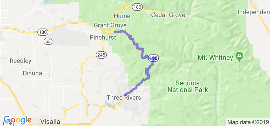
I suggest starting in the town of Three Rivers CA. Three Rivers is just about 70 miles north of Bakersfield California and lies just outside the southwest border of the Sequoia National Park. The route I describe is only about 20 miles long and it takes place all on one main road that goes through the park - highway 198. Go north from Three Rivers on highway 198 into Sequoia National Park. The really twisty section is in the first 20 miles. If you continue north through the park and back down to the lower altitudes (and back to civilization), it will be another 70 miles.
Highway 198 will turn into Highway 180. If you go left on 180, it will take you out of the park to Squaw Valley. If you go right it will take you to a dead end/turnaround in the heart of Kings Canyon National Park.
Scenery
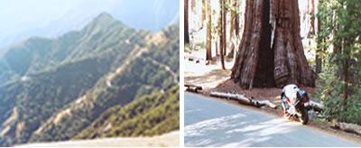
This place could define the word scenery in a picture book on national parks. Huge rock formations, grand vistas of mountains and valleys, and, best of all, a GIANT sequoia nearly 300 feet tall. Yosemite National Park is even more grand, and can be visited the next day.
Drive Enjoyment
Imagine the perfect layout with tight curves and tight switchbacks with plenty of elevation changes. Then pour the greatest pavement in the US. I'm not joking. We're talking 1-grit sandpaper quality ... your tires will grab on to this stuff like glue. I rode 20 mph through a 5 mph switchback on bald tires.
Tourism Opportunities
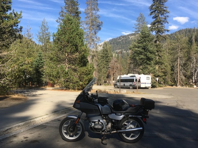
There's a lack of gas stations and fast food joints, but the park is full of places to see and things to do. You could spend a week here.Be prepared for several thousand feet of altitude change and the temperature change that comes along with it. In October it was 80 degrees down low, but 60 degrees higher up in the park.
Motorcycle Road Additional info
- View the weather forecast for this area from Yahoo weather .






























































 Write a review
