Motorcycle Route Author

By Guest (0 McR Points)
on Oct 31, 2006
Rider Reviews
Written Directions
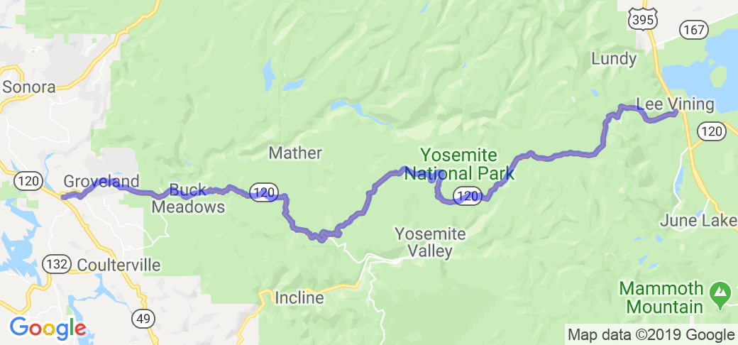
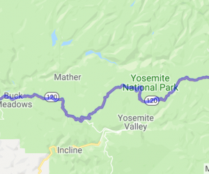
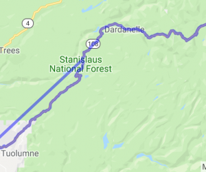
Start your route in Groveland, CA. Head east on route 120 to Yosemite National Park's west gate located in Buck Meadows. Continue on state route 120 to the Crane Flat exit (only gas station available so may want to top it off). Continue east on 120 (Tioga Pass Road) and end at Yosemites's east gate in Lee Vining. (Mono Lake).Scenery
Each year during late Fall, a group of us Northern California motorcycle riders make a weekend trip to what we feel is simply one of the most beautiful areas of California, and the United States. Yosemite National Park has got to be one of the true treasures of this country, with so many sites to see and things to do. Having been there many times over the years and either honeymooning, camping, riding bicycles, hiking, fishing, site seeing or dining at the Ahwahnee Hotel, it is just a phenomenal place to spend time to visit, take in the sites and breathe in the mountain air. It is also one of the most romantic sites on the planet if one is so inclined. The views from the elevated roadways of the Merced River, the solid rock mountain scape including Half Dome and El Capitan are truly breathtaking. Of course, Ansel Adams was very famous for his photography here, and there is clearly a reason as to why. (continued below)Drive Enjoyment
(see continued description below)Tourism Opportunities
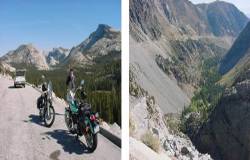
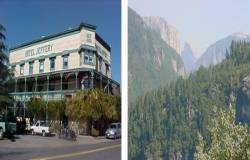
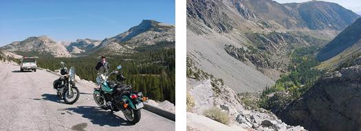
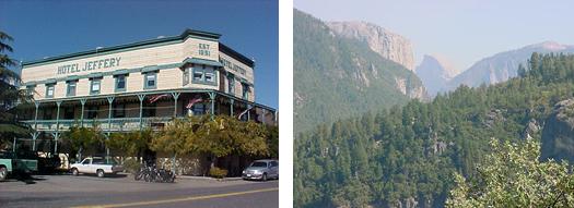
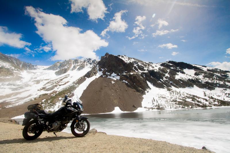
However, that being said, of all the seasonal activities that one could possibly muster in Yosemite Park, there is one particular activity that most tourists and visitors will never witness, and that is having the experience of traveling on a 2-wheeled motorcycle through this elevated park setting. While our final destination will ultimately be just southeast of Yosemite Park at Mammoth Lakes-California for the night, it is truly a therapy cruise through the Southern Sierra Mountains over the sweeping tree and granite lined roads, only to cross over Yosemite's Tioga Pass at a 9,945-foot elevation. Tioga Pass is the highest automobile pass in California, and then descends immediately downhill some 4,000-feet to Mono Lake to about a 6,000 foot elevation. It's a pretty cool feeling when you stand on a mountaintop vista point at nearly 10,000 feet elevation, along side your close friends and their bikes, knowing that you are quite simply on top of the world. There are not many feelings or experiences like that as far as we're concerned, and memories like these will certainly last a lifetime.Each year we start our ride from the greater San Francisco East Bay Area, meeting at The Old Mill Restaurant in Modesto, California. Once there, we mixmingle having a hearty breakfast before we set out to gas up and cruise east on highway 132 and into the Sonora foothills through Gold Rush mining towns as La GrangeCoulterville. These old time mountain towns still resemble the Gold Rush era with Historical landmarks, buildings and restaurants such as the La Grange SaloonGrill and Coulterville's Jeffery Hotel. Both places provide good food in a casual environment and serve ice-cold beer on over 100 year old carved wooden bars. Every Saturday and Sunday you'll find quite a few motorcycles parked outside of both locations as well as tourists on weekend drives. Highway 132 is an excellent back-road connection from the Central Valley to the Sierra foothills and onto Yosemite.
Leaving Coulterville we continue eastbound until we pass through Buck Meadows and onto the gateway of Yosemite Park located at Big Oak Flat, which is the West gate entrance of Yosemite National Park and at approximately a 3,000-foot elevation. Once in the gate, we are now onto the Yosemite Park property with approximately 80 miles to go to reach the East gate at Lee Vining-California to highway 395. There is a $10.00 fee per motorcycle to enter the park as a "drive thru" pass and is good for 7 days at all gate entrances in the park. We usually buy the $40.00 annual pass as it's good for 1 full year and allows you unlimited access into the park with any type of passenger vehicle. Taking a short break at the gate, we may want to put on or take off some additional layers of clothing depending upon the weather situation. We're about to embark on a 2-wheel climb from 3,000 to nearly 10,000-foot elevation in about 60 miles.
Heading east from the Big Oak Flat entrance gate, we start the climb up the roadway and into the mountains. Our next stop will be to Crane Flat where we normally gas up. This gas station is the only one at this particular point in the park and on the route we are taking, and quite a distance from either the White Wolf and Tuolumne Meadows fuel stops. (White WolfTuolumne Meadows fuel stops, lodgingfood are closed during winter months). So it's fairly wise to gas up and not risk running out of petrol somewhere along the way to the Eastern side of the park. Besides, stopping for gas allows us to stretch out, have a quick snacksomething to quench our thirst to refuel ourselves. Then, we're back onto the bikes and heading Eastbound and through the park on Tioga Road.
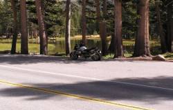
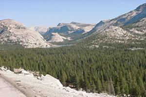
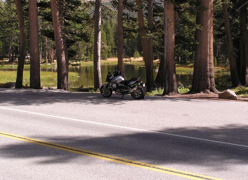
Now, this next part of the trip is where the ride starts to get really exciting. We're about to cruise some 70 miles over sweepingwinding roads, and within some of the most beautiful and natural scenery known to mankind, clear to the east side of the Park. The 2-lane paved road surfaces are very smooth and in excellent condition, having a natural glitter effect cast into the asphalt from local quartz stone used to build the roads, and appears like jewels buried into the roadway. With the right amount of sunshine you really think that you are riding on a road of jewels. Pretty cool stuff. The motorcycle engines purr and echo amongst the trees as we lean into the next curve, breeze in our faces, climbing upwards to the next bit of straight away and into the next upcoming curve. Because many tourists and visitors of the park use all roads quite heavily during the open seasons, they are maintained well and in excellent condition. There are turnouts and vista points available every so often that allows for speedier traffic to pass slower moving traffic, and where you can stop to rest, take pictures and even catch a hiking trail or drop a line into the water. Various campgrounds and cabins are scattered along this route and offer a place to stay if so inclined. However, be aware of Ranger Rick with radar in his Ford Expedition as he is out there and will snag any rebel that decides to blast through the park, and especially motorcycles. While the roads are certainly crafted like Laguna Seca Raceway, it's simply not the place to race. Besides, while our group is comprised of Harley's, BMW's and various high end sport-bikes, we tend to cruise the roadway at a decent and honest clip with the intentions of seeing and smelling the flowers, and with plans to do it again next year.
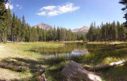
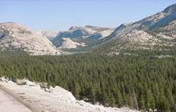
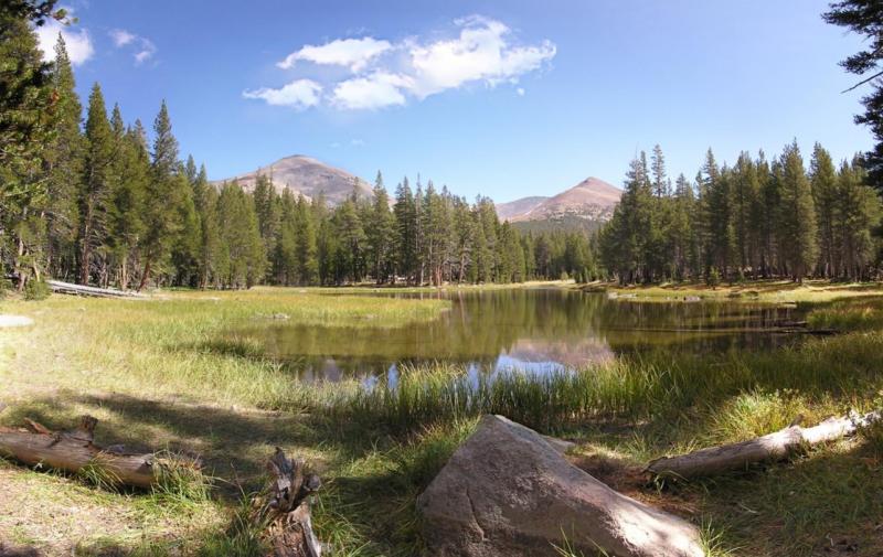
While cruising in between the 100-foot tall trees that line the roadway, you pass by large open meadows covered with colorful natural flowers and blooms as well as occasional cascading waterfalls along the roadside as well as off into the distance. Cruising through this stretch of Yosemite wilderness is totally an awesome treat, and often find yourself scanning the landscape for grazing deer, occasional bear, mountain climbers navigating a rocky 90 degree face or a fly fisherman wading in a stream. Lake Tenaya is near the crest of Tioga Road and really is one of the most beautiful alpine lakes you'll ever see. It's amazing that so many scenes we pass could actually become postcard material.
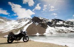
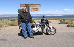
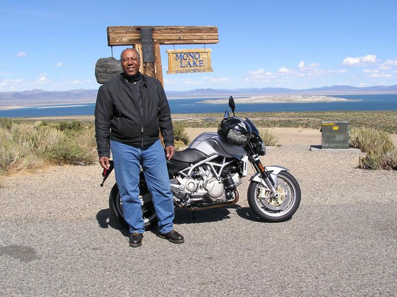
Once at the Tioga Pass checkpoint, it's time for a short break to stop, stretch out and snap a few pix of the group and scenery. This is the point of the ride where we start the dramatic drop to highway 395. Once back onto the bikes, we trek downhill approximately 20 miles over the lazy curves and long straights of asphalt where you can actually see for miles well off into the distance that covers the remaining eastern portion of Yosemite Park, the cliffs, gigantic jagged granite mountains, Mono Lake and clear into the state of Nevada. Beware, as there is a somewhat straight stretch of roadway on this part of the ride, with some "S-curves" thrown in, that is a shear total cliff drop-off that must be some 2,000 feet straight down and into the valley. Needless to say, you don't want to misjudge any of these curves especially when the bikes gain speed heading downhill. Regardless, this part of the ride goes by quickly and winds up at the base of highway 395 where we'll stop to take our last break, and gas up our bikes for the last leg of the trip to Mammoth Lakes, some 25 miles south. The quaint town of Lee Vining borders Yosemite National Park from the West and Mono Lake from the East. There you'll find motels, shopping, restaurants and just about all you need to see you through. We've found that the best breakfast in town is "Nicely's" right on the main road.
As mentioned at the start, of all the bike trips that I have ever been on, and it has been many, this Yosemite ride has to be one of the most incredible stretches of road and scenery to travel. Each year we begin planning next years trip before we get home from the one we're on. )

