Written Directions
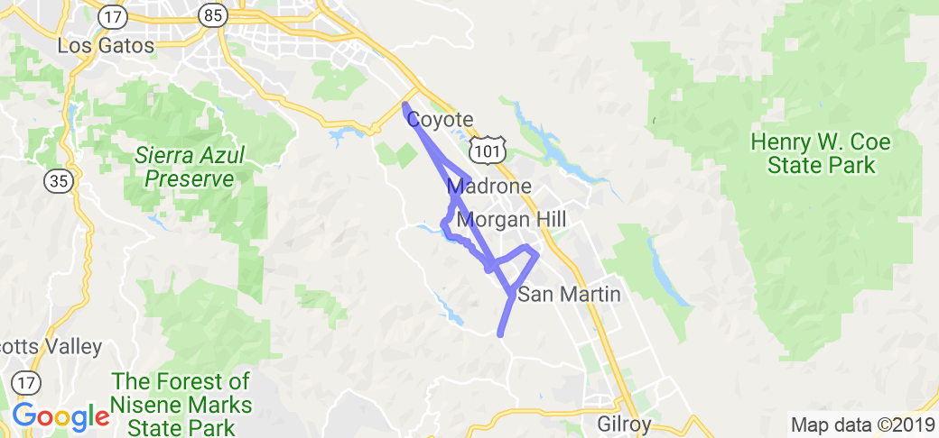
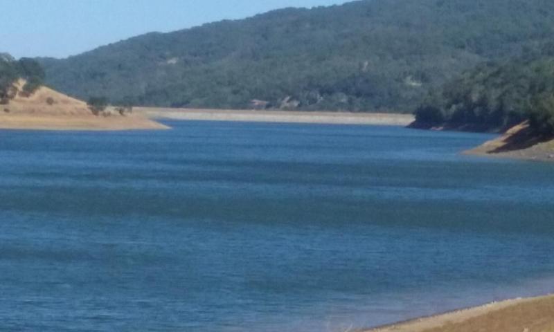
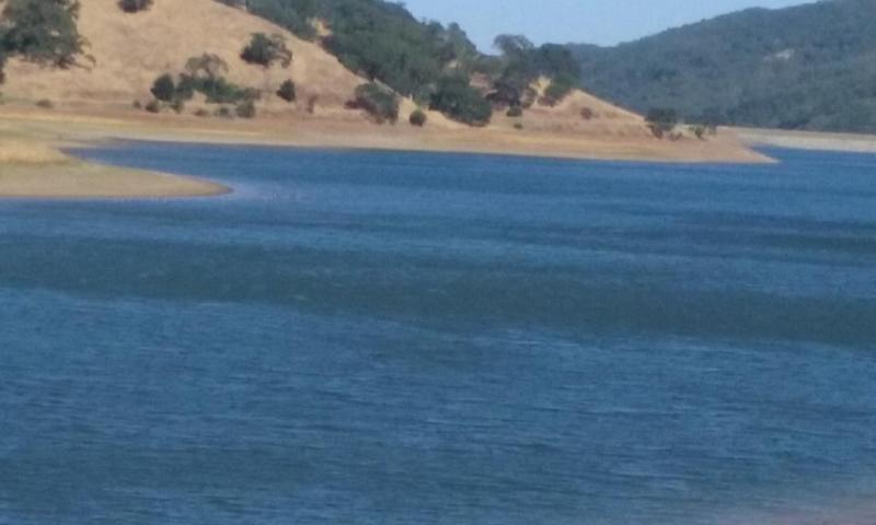
This is a very scenic, comfortable, easy ride in the rolling hills and twisty mountain roads of Morgan Hill and South San Jose that will combine three large bodies of water (Uvas Dam, Calero Dam, and Chesbro Dam), with lots of gorgeous wooded areas and tons of domestic animals and wild animals. When combined with the Uvas Reservoir route, this ride makes a 35-40 mile "loop" which is really fun. To make the "loop" extra special, use the Tennant/Edmundson Avenue at Monterey Road intersection as the "gathering" point and "ending" point to take advantage of the numerous amenities within a block of the intersection.
From Bailey Avenue and Santa Teresa Boulevard turn south on Santa Teresa Blvd. Santa Teresa Blvd changes to Hale Avenue and 4.3 miles from Bailey Avenue, turn right (West) onto Willow Springs Road.
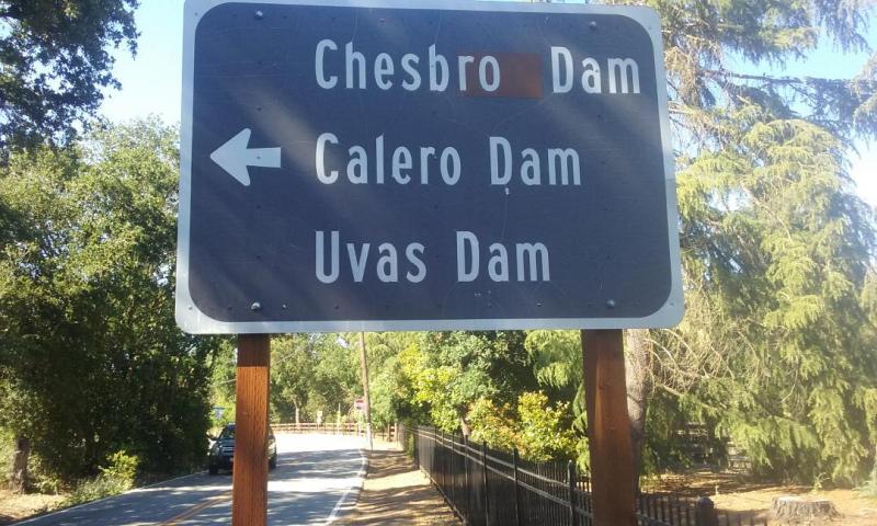
Willow Springs Road ends at Oak Glen Avenue, about 2.6 miles from Hale Avenue. This is where you will see Chesbro dam. Turn left (Southeast) onto Oak Glen Avenue. At the Stop Sign where LLagas Road meets Oak Glen Avenue, turn right (South) and 3.1 miles from Willow Springs Road you find a Stop Sign at Edmundson Avenue.
Turn left (East) onto Edmundson Avenue for 2.1 miles until you reach Monterey Road. This is where the State Historic Marker for the 21 Mile House is set. The 21 Mile house was a tavern and stage stop in the 1850's, during the Gold Rush era, and named for being 21 miles south of San Jose. Numerous coffee shops, restaurants, pizza shops, grocery and gas station facilities are within a one block radius. **NOTE: Edmundson becomes Tennant Avenue as it crosses Monterey Road. Tennant Avenue has direct access onto U.S. Hwy 101 N/B-S/B.
Head South on Monterey Road for .6 miles to Watsonville Road.
Turn right (West) onto Watsonville Road and 3.7 miles you are at Uvas Road. The Uvas Reservoir route begins at Uvas Road and if you follow that route, you end up back at Bailey Avenue and Santa Teresa Boulevard.
Scenery
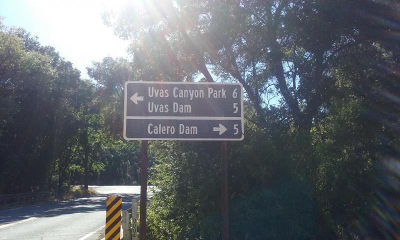
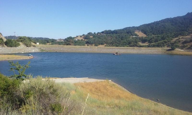
A very scenic, easy ride through rolling hills and mountain roads with many wooded areas. You can pass along 3 different large bodies of water, Chesbro Dam, Uvas Dam, and Calero Dam. Many of the old bridges from the 1920's are still standing along this route. The State Historic Marker for the legendary "21 Mile House", which dates back to about 1852, Gold Rush era, is along this route.
Drive Enjoyment
Good asphalt roadway surfaces with wide, one lane in each direction, for 95% of the ride. Soft gravel shoulders and rocky cliffs/banks should be avoided unless an emergency exists.
Tourism Opportunities
Edmundson Avenue (Tennant Avenue) at Monterey Road hosts numerous coffee shops, restaurants-eateries and pizza shops, grocery and gas station facilities. The SouthWest corner of this intersection hosts the State Historical Marker for the 21 Mile House (established in 1852) as a tavern and stage stop.
Motorcycle Road Additional info
When combined with the Uvas Reservoir route, this will make a complete loop, and if you start/end at Tennant/Edmundson Ave at Monterey Road, you'll have refreshments and be able to fuel up at the same time.

















 Write a review
