Written Directions
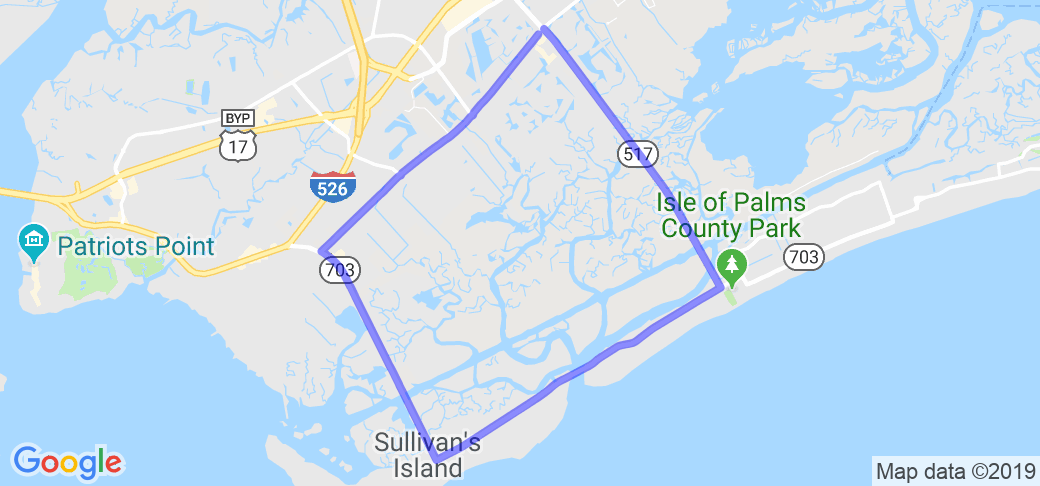
From the intersection of SC-517 and Rifle Range Road at Mt. Pleasant's Seaside Farms Shopping Center, take SC-517 (Isle Of Palms Connector) for 3-miles east and over the Intracoastal Water Way. Turn right (south) onto SC-703 and cross the Breach Inlet bridge to Sullivans Island. Some 3 miles beyond the IOP Connector, turn right (SC-703 west) to leave Sullivans Island. Continue 2 miles on SC-703 and turn right onto Rifle Range Road for 3-miles to return to Seaside Farms.
Scenery
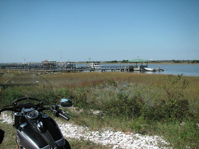
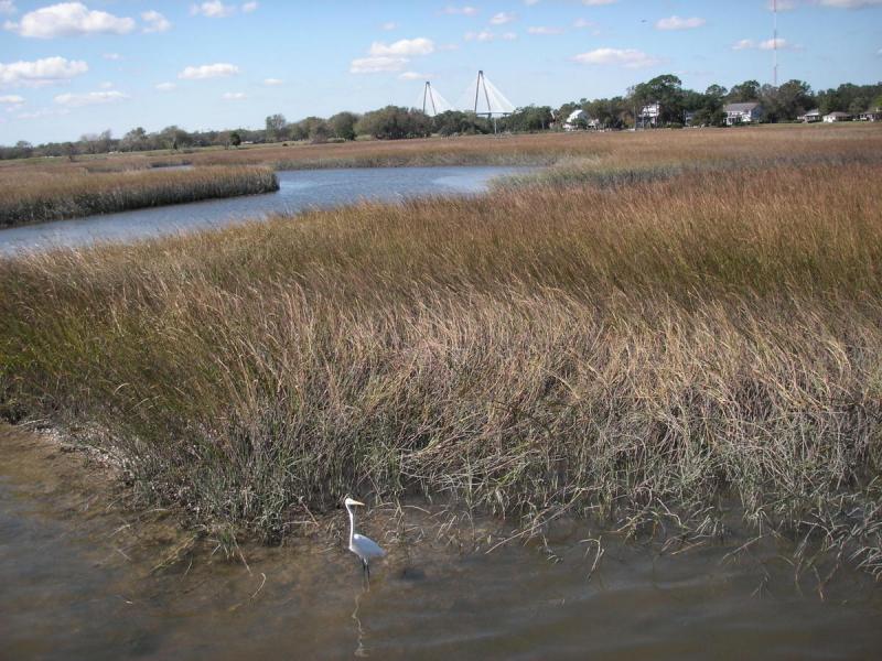
Looking east from the top of the 65' bridge over the Intracoastal Waterway, the Atlantic Ocean lies on the horizon behind the coastal Isle of Palms beach "cottages". Occasionally ships can be seen heading to and from Charleston Harbor, 6-miles to the south. Thirteen-miles southwest, beyond a beautiful panoramic view of reeds and saltwater marshes, the strikingly handsome Ravenel Bridge is visible. Great Blue Herons and other aquatic birds live in the marsh and with favorable wind conditions, the sweet aroma of ocean air is delightful.
In 1864 at picturesque Breach Inlet between the southern end of Isle of Palms and northern Sullivans Island, the Confederate submarine H.L. Hunley left protected low country estuaries for open waters of the Atlantic. At Charleston Harbor, she then sank Union warship USS Housatonic. Near Sullivans Island Station 30th Street east, when wind is adequate, colorful sails of kite-boards soar above ocean surf.
Drive Enjoyment
The 12-mile route is straight except for the designated turns and a couple of rotaries on Rifle Range Road. It is also flat but for the bridge over the Intracoastal Waterway of the IOP Connector.
Tourism Opportunities
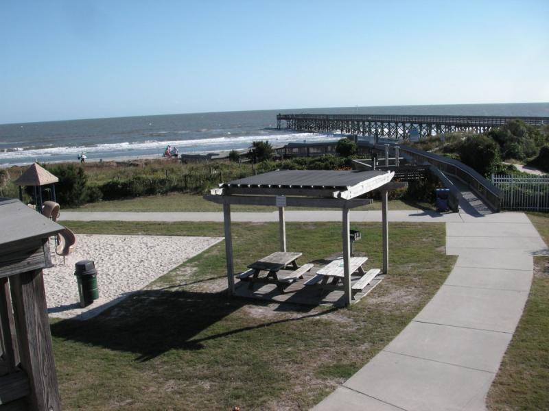
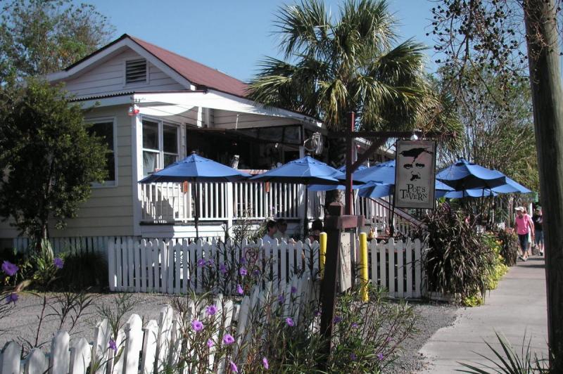
After an optional stop at IOP County Park to swim at the beach in the ocean's warm Gulf Stream water, rinse off at the park's heated, outdoor fresh-water showers. Two blocks to the south, a "real beach thing" is the Windjammer tavern with beach volleyball, peel-and-eat shrimp, etc. On Sullivans Island, instead of turning west back to the mainland, turn (east) and then south onto Middle Street to dine at Poes or other restaurants. Poes is known for delicious Black Angus burgers, fries and Mahi tacos. On both islands, coastal streets have public access paths to the beach. Seaside Farms shopping center has two higher end restaurants--Opal and Basil, a Target store, etc. With the exception of Rifle Range Rd., fuel may be obtained at various locations along the way.
Motorcycle Road Additional info
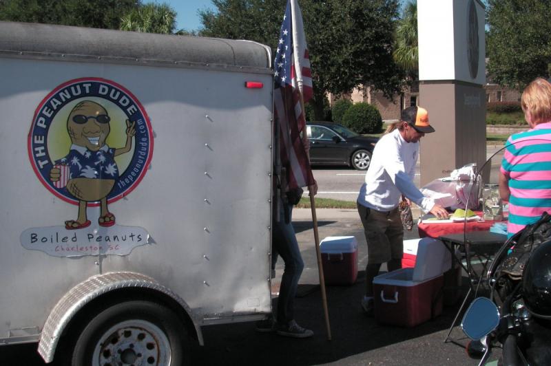
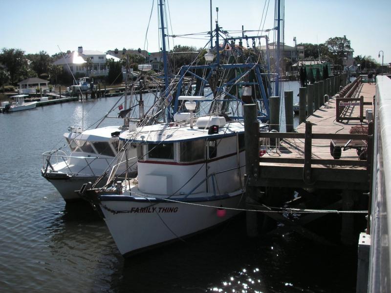
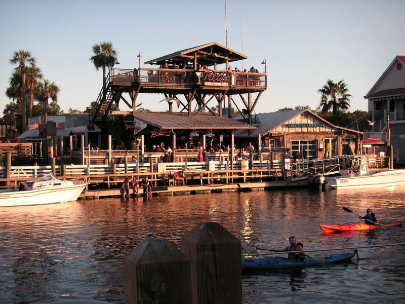
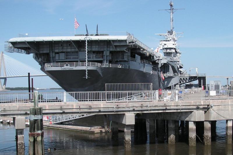
Before turning at Rifle Range Rd., an option is to remain on SC-703 for 1.5-miles to seafood restaurants at Shem Creek, where you may also see an occasional porpoise, or walk the .5-mile boardwalk for a partial view of Charleston Harbor. (Look for the Peanut Dude's trailer on this section of SC-703, a.k.a. Coleman Blvd., to sample South Carolina boiled peanuts.) Continuing further on SC-703 leads to Patriots Point & Maritime Museum, the USS Yorktown--a WW-II aircraft carrier, and the Ravenel Bridge to downtown Charleston.























 Write a review
