Written Directions
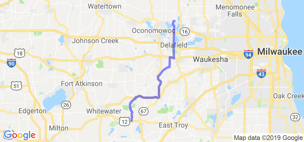
Start trail at County Hiway H north of State Rte 12, this intersection is about 4 mi. east on Rte 12 from Whitewater, WI. Continue on County Hiway H as it joins State Rte 59 in Palmyra to State Rte 67 in Eagle. Turn left (N) on County Hiway ZZ to Waterville Rd. Turn left (N) to County Hiway C. Follow County Hiway C to right turn as it joins County Hiway G, then a short distance turn left following C as it leaves County Hiway G behind. At intersection of County Hiway C & State Rte 18, turn right (E) then a quick left (N) on County Hiway C. stay on County Hiway C going north, crossing I-94 and State Rte 16 through the towns of Delafield and Nashotah. Ride ends at intersection of County Hiway C & County Hiway K where you can turn around and run it in reverse.
Scenery
The ride runs in and out of Kettle Moraine State Forest with a number of opportunities to park and hike back into the woods, but the view from the saddle is limited and is not the reason to ride the trail. Your attention should be focused on the frequent flat or off camber turns the road takes.
Drive Enjoyment
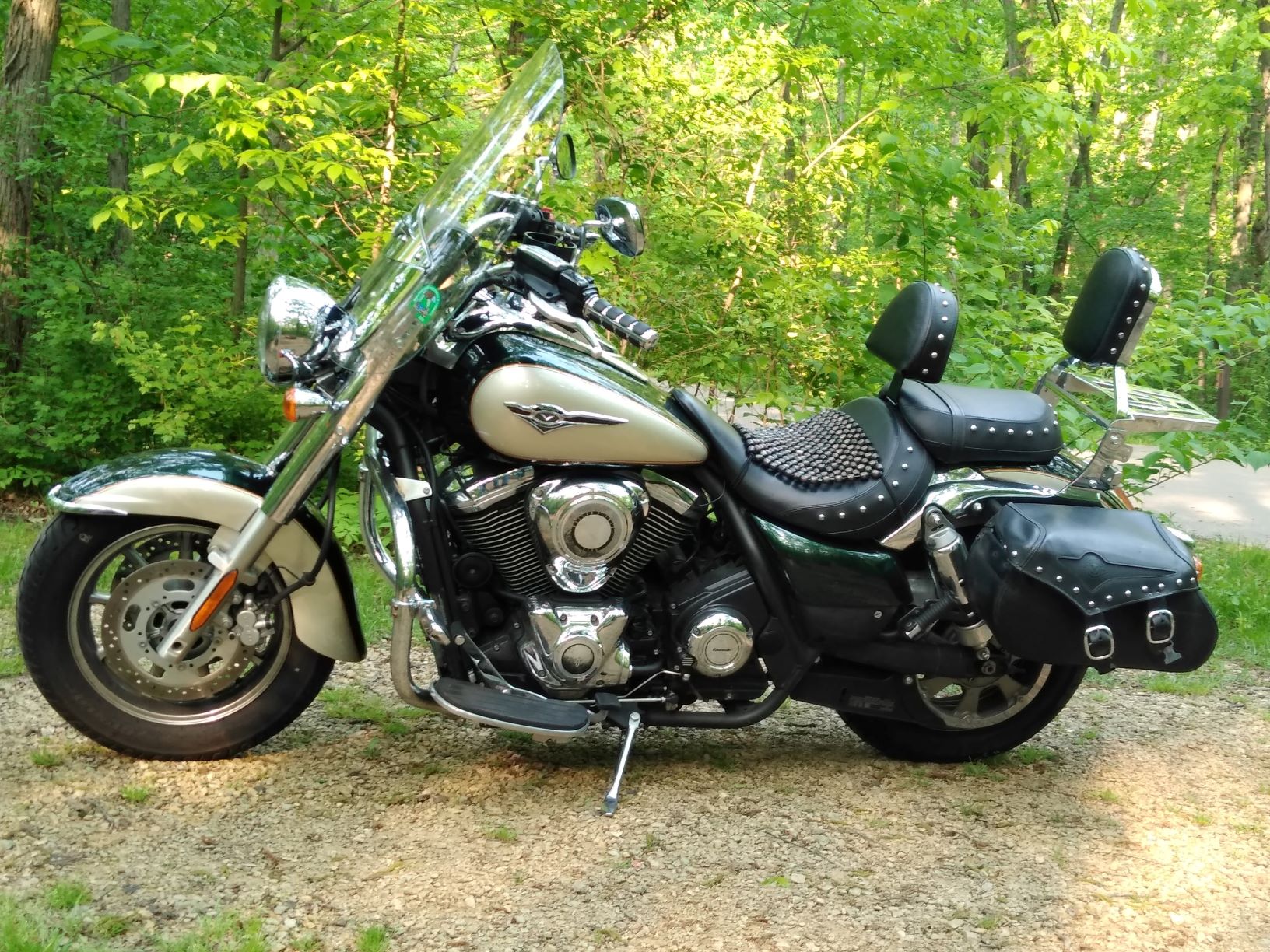
The route includes many County Hiways that have many 25 mi limit curves (some you can go faster), but since I ride a cruiser, knee dragging turns are seconds before a disaster. Also note that you may meet bicyclers, joggers, farm machinery, RVs and large semi trailers along the way who are less equipped or willing to make way for you. The ride took 55 min. with avg. speed 43 mph and max. speed 74 mph.
Tourism Opportunities
For some more information about the State Park visit the Forest HQ and museum (with public restrooms) on State Rte 59. In the town of Delafield you can find cafe, coffee shop and gas (kind of lah-de-dah for my taste), but in Eagle, don't miss Knuckleheads Bar (as previously mentioned in another ride) and order their Ruben sandwich YUM.
Motorcycle Road Additional info
Although this ride covers part of a state designated scenic drive of over 114 mi. and is marked by road signs, there aren't enough of them to keep you on track (in fact there is no sign at intersection of County Hiway C & K). The trail is probably pretty well known locally, it is good enough for introduction to a broader audience through this and other websites.


 Write a review


 | United States")


- Ranch Roads 335, 336,337a | United States")


 | United States")


 | United States")


