Written Directions
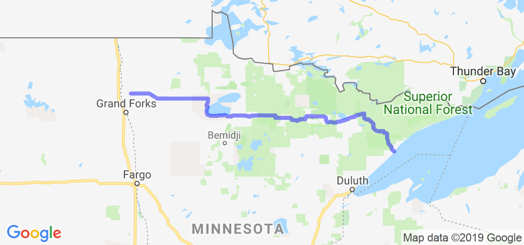
At 346 miles (557 km) in length, Highway 1 is the longest state route in Minnesota! It runs from North Dakota Highway 54 at the North Dakota state line (at the Red River in Oslo) and continues east to its eastern terminus at its intersection with Minnesota Highway 61 at the unincorporated town of Illgen City in Beaver Bay Township on the North Shore of Lake Superior.
Scenery
Starting in the Wheat fields and farmlands in the western part of the state, passing through some of the best forests and lake country in the state and ending at the worlds largest, coldest, and cleanest lake, Superior, in the East! The roadway passes through the following forests: Finland State Forest in Lake County, Superior National Forest in Lake and Saint Louis counties, Bear Island State Forest in Lake and Saint Louis counties, Kabetogama State Forest in Saint Louis County, George Washington State Forest in Itasca County, Koochiching State Forest in Koochiching County. It really shows off the diversity of the state in a way that no other highway can.
Drive Enjoyment
Due to the length of the road and considering what Winter can do to them, it is best to check with the MNDOT before riding it to see about repairs and construction projects that can ONLY take place during the Summer.
Tourism Opportunities
Plenty of fuel and lodging along the way!


 Write a review


 | Iowa")


