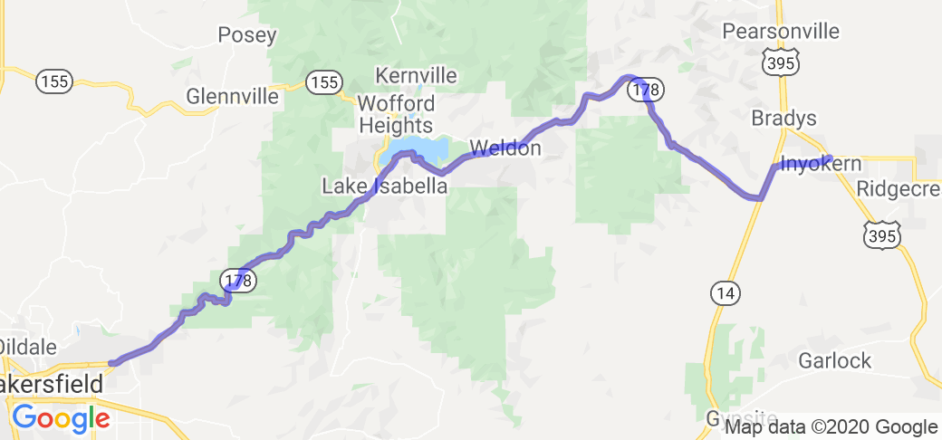
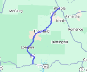
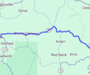
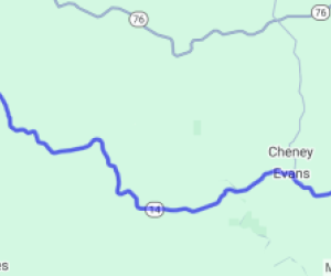
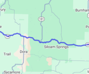
Written Directions
Starts (or ends depending on direction of travel) in Inyokern where 395/14/178 meet. Stay on 178 the entire way and you'll head past Lake Isabella and eventually into Bakersfield.
Scenery
This ride starts as Joshua Trees that start small and sparse and increase in quantity and size for the first 1/4 of the ride as your elevation increases. The midway point has a small town on the left with Lake Isabella on your right. Finally you descend through large boulders and rock walls on your left with a roaring river on your right.
Drive Enjoyment
The pavement is in great shape. The ride is mostly curvy with enough straightaways for passing when necessary. After passing Lake Isabella the road opens up into a two-lane highway for a little bit and then gets tight and twisty. Passing will be a challenge at this point but there are many signs for slow traffic to use the turn outs.
Tourism Opportunities
At the midway point by Lake Isabella you'll be able to gas up and have a quick bite. There's a Mexican restaurant called El Portal Mexican grill that may surprise with you some tasty eats and a friendly staff.
Motorcycle Road Additional info
Many corners are without guardrails and have steep drop offs so it's not for the novice or timid but there is nothing difficult or tricky about the ride so most should do just fine on it.
If you're brave, you can stay in Inyokern after a day in Death Valley. While Inyokern isn't pretty, the Mayfair Inn is clean and the dive bar next door has cold beer and there's a couple food spots that shouldn't make you sick. This is a great way to get back into Central California after a day of riding in Death Valley.