Written Directions
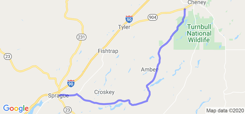
The northern most point of this route starts on S. Mullinx Road on west side of Cheney, WA. This takes you through western edge of Turnbull National Wildlife Refuge and continues past Williams Lake. At the fork the road turns into W Martin / E Williams Lake rd. This has some nice tight corners. Ends at the Sprague Hwy rd few miles east of Sprague.
Scenery
South of Cheney along edge of Turnbull mostly scablands with some Pondarosa, black pines . Some rolling hills, few places along here to see some dry falls between Williams and Badger. once west of Williams trees are mostly gone, few wheat fields but mostly scablands.
Drive Enjoyment
2 lane narrow road once you get past Williams lake. Rode this in early May and road was decent, no potholes or broken pavement.
Tourism Opportunities
no idea, there are a few places to eat if thats what drives your boat. Cheney has stores and places to eat, Williams lake has place to eat.


 | Routes Around the World")


 Write a review


 | United States")


 | United States")


 to Mt. St. Helens Nat'l Forest | United States")


